
These are my 21st and 22nd days on the trail
After catching a ride out of Kearney, I start passage passage 16. The first few miles ramble directly west following the Gila river. Then at mile 16 the trail follows a side canyon north for 10 miles. It was the last part of the AZT to be completed, just finished about 4 years ago, and its creation opened up some of the prettiest areas in Arizona.
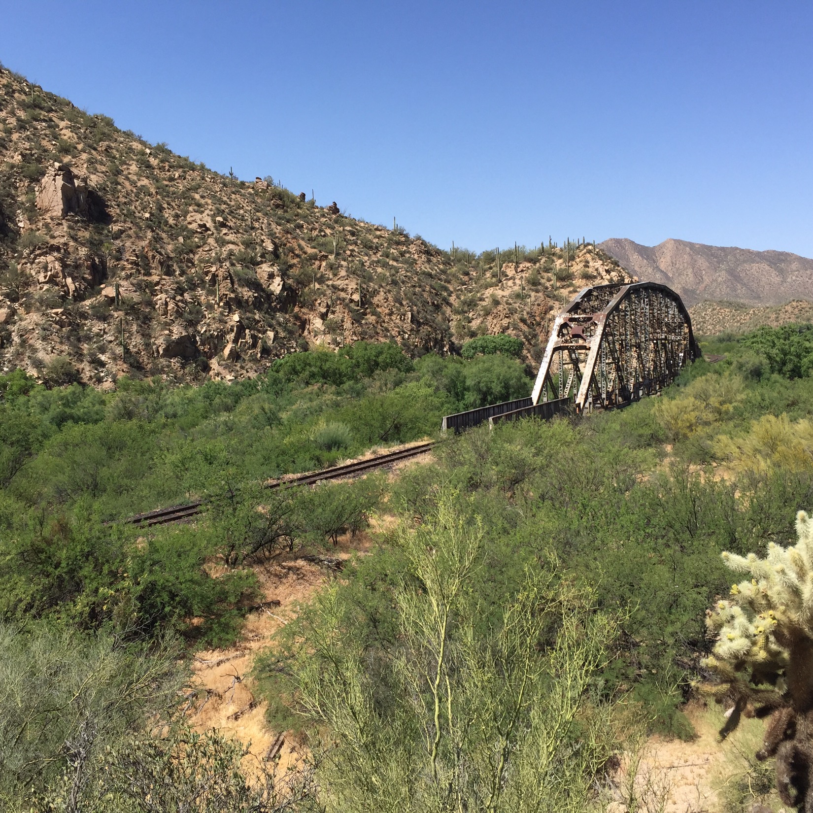
The Gila is a surprise to me. The trail goes up and down along the canyon. A railroad track parallels the trail across the canyon, and a few miles in we pass a cool old RR bridge. The trail crawls mostly a few hundred feet above the river, and the bottom below me seems choked with green trees . Occasionally the muddy brown of the river will show through. The Gila starts in New Mexico and flows west across Arizona before joining the Colorado and heading down into Mexico and Sonora. Before 1854, The Gila marked the border between the US and Mexico. The 265 miles I’ve walked to this point have been Gadsden Purchase country.
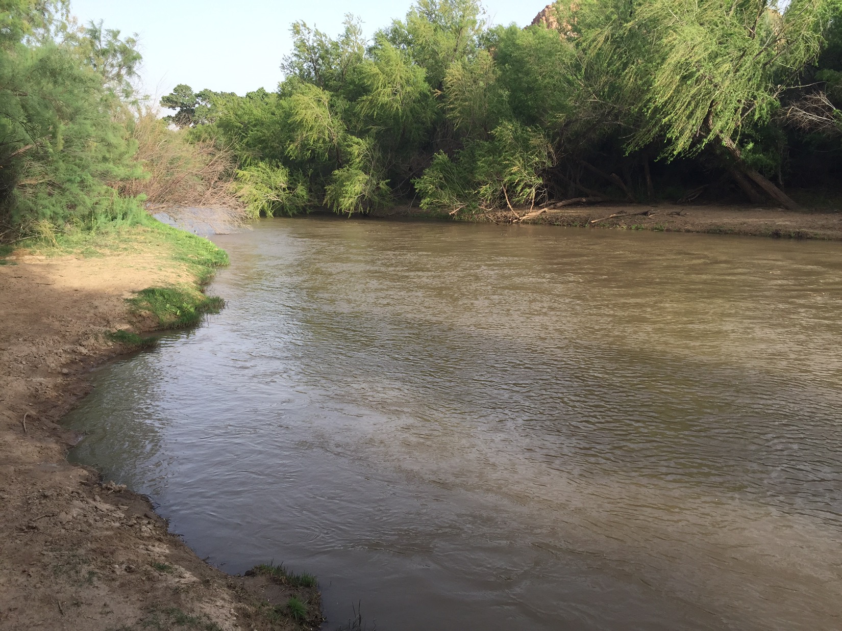
I constantly see the river but don’t go down to it until Rincon creek at mile 16. I go down to the banks and fill my two packs with filtered water from the muddy stream. Once filtered, the water is cool and clear. I turn and head up the steep trail into Alamo canyon and pitch my tent on a desert shelf above the trail.
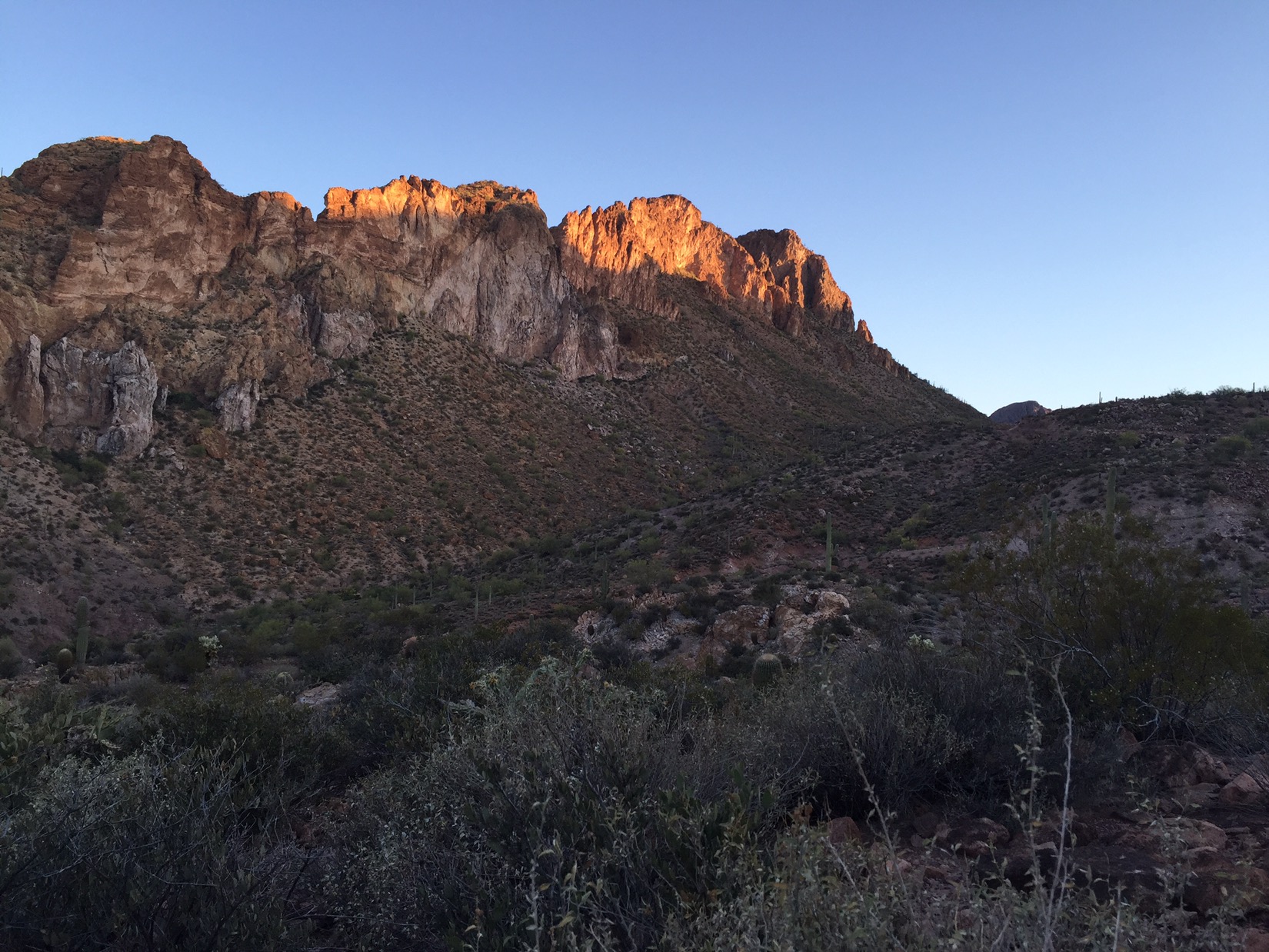
Early the next morning I can hear rocks falling where the big horn sheep misstep. The sun strikes the rocks high in the canyon walls above me. The air is cool and still. I’m hiking before 8 and hear Javelina snorting in the canyon somewhere. I run into a mountain biker named Kurt who is coming down from Picketpost Mountain as I head up. He started at 5am and we take photos of each other. A 5m stop at most but as with all AZT thru hikers and bikers it’s not rushed.
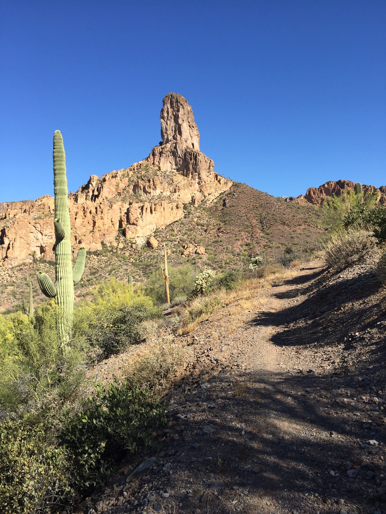
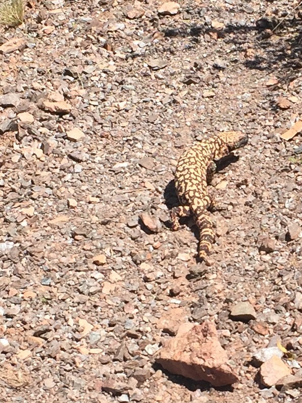
A giant rock spire comes into view. I never even knew this existed until a few weeks ago. Snakes have this unnerving habit of resting on the trail with only their heads in the shade of a bush and the rest of their bodies stretched across the trail. I’ve been spooked by a few luckily they are not rattlers. I run into another Gila Monster (one of the most poisonous reptiles in the Sonoran Desert, they release their poison by chewing on you).
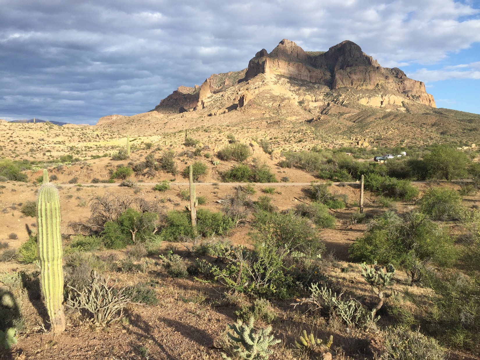
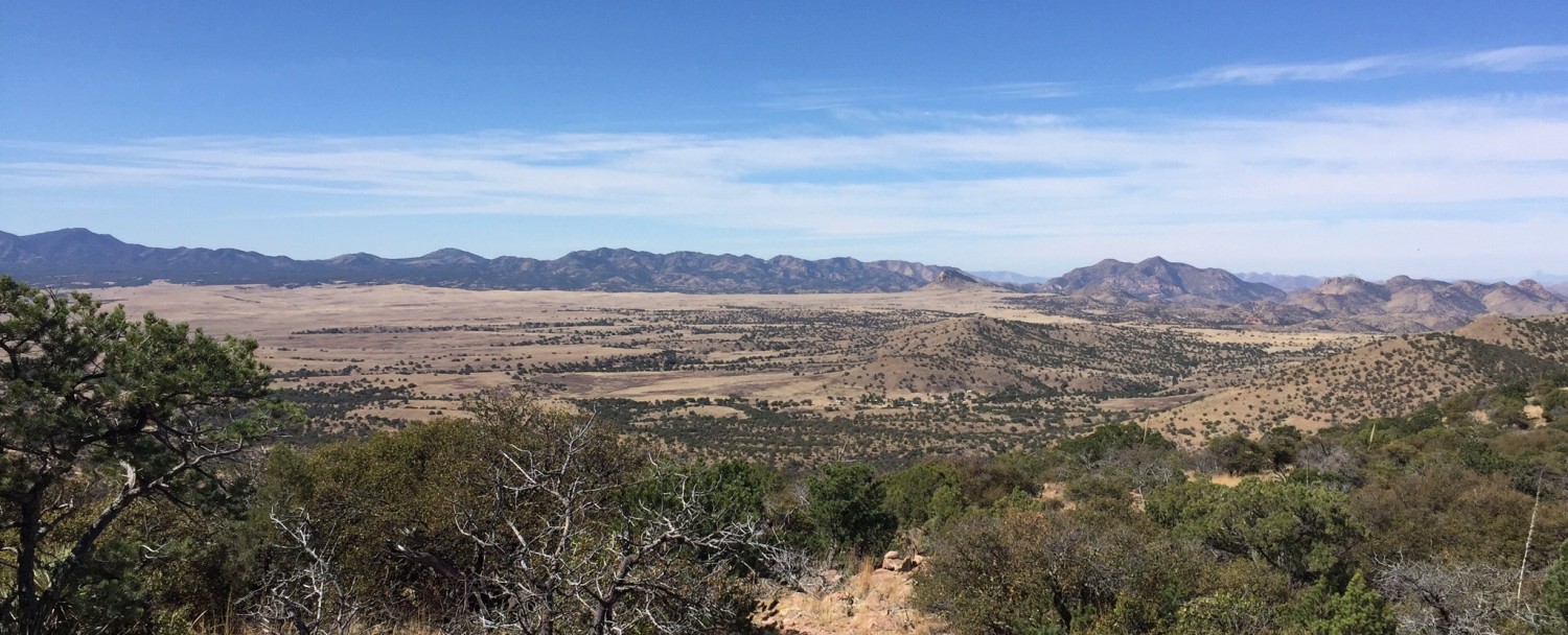
I get to the top of the canyon sooner than I thought. The next ten miles the canyon was a gateway to another type of country: more rugged, rocks of red, dark and yellow. In one moment, I see hosts of yellow and white wildflowers a with gray petals. In another, I surprise dozens of butterflies: little ones with purple wings all around me. In the last few miles the trail circumnavigates the enormous Picketpost Mountain, and the clouds and fading sunlight create different vistas every hour. By sunset I’m past the highway into Superior and close to a spot where my parents can pick me up the next day for a rest day in Superior.