April 22 & 23: The Mazatzals 

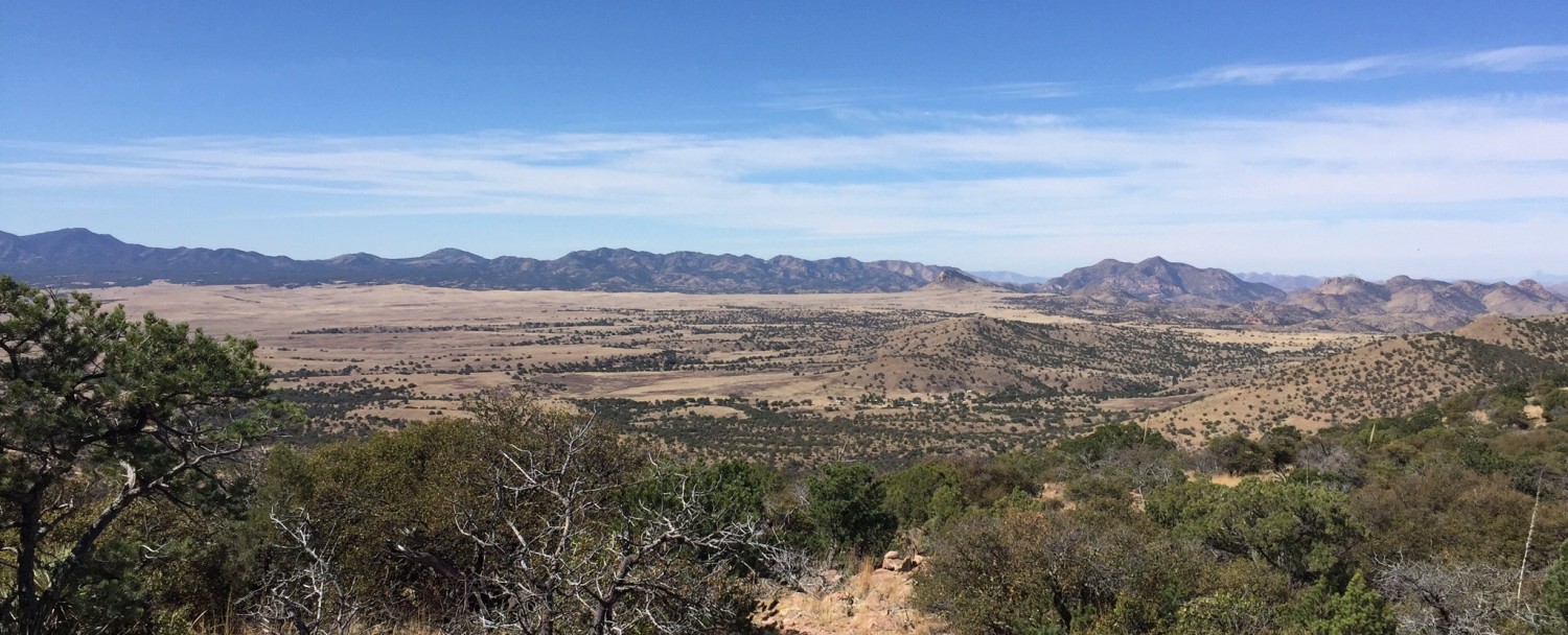
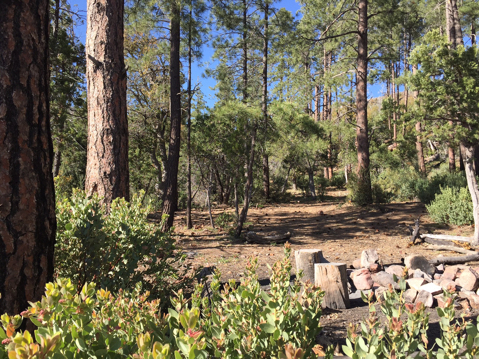
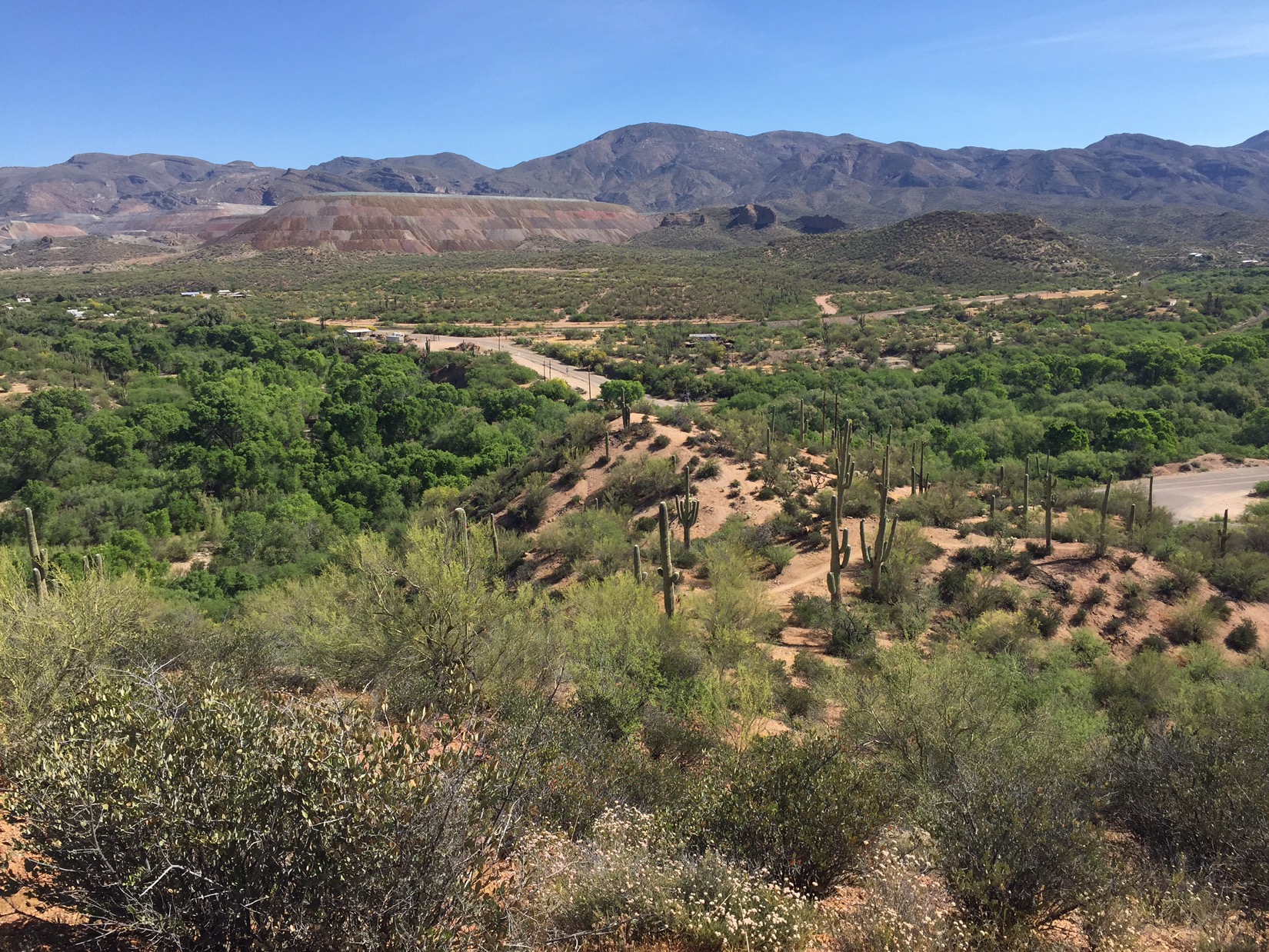
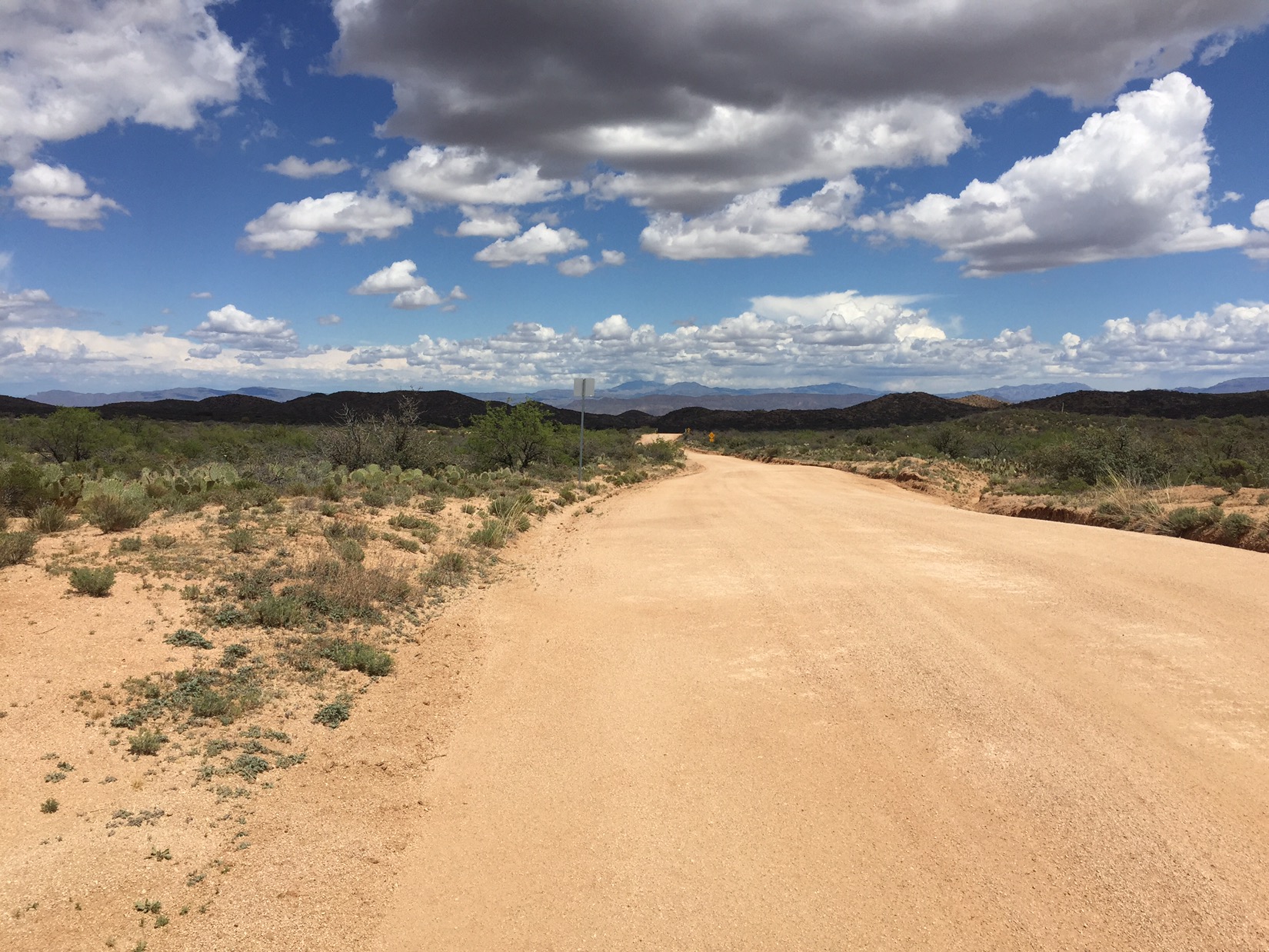
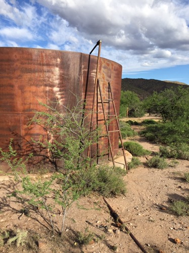
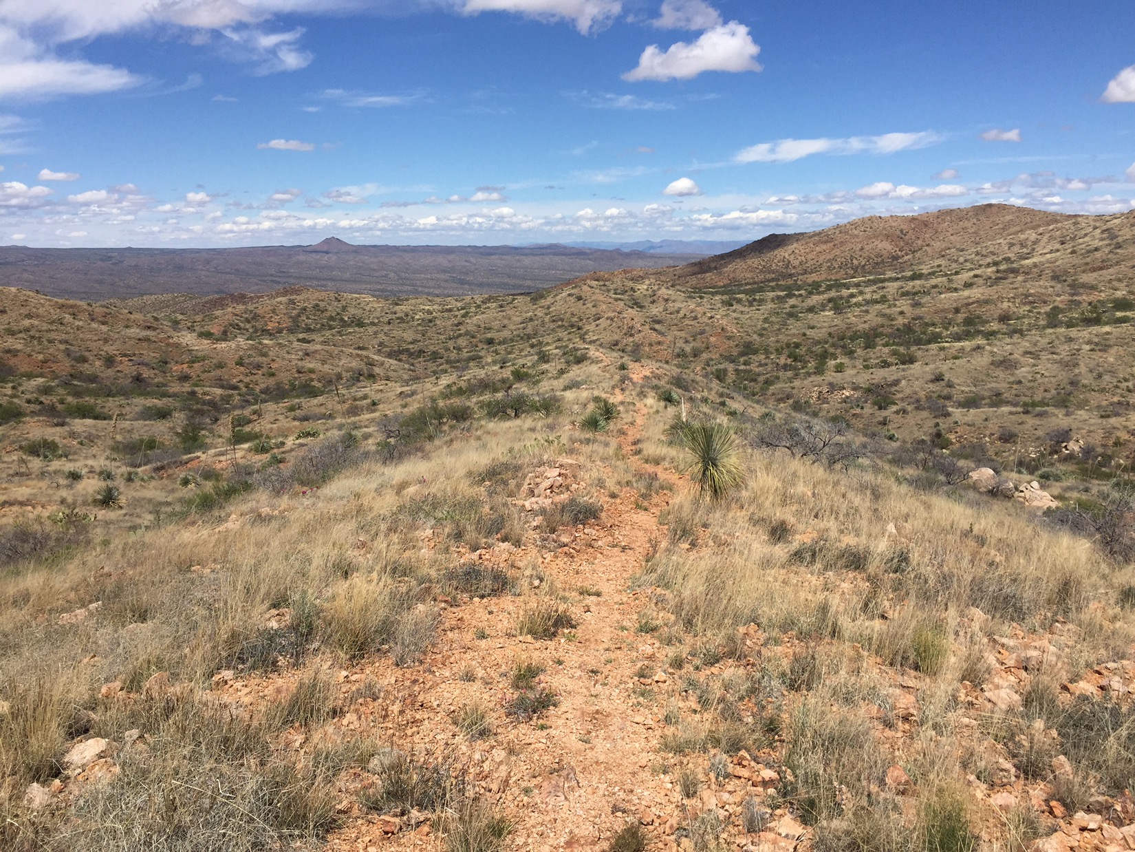
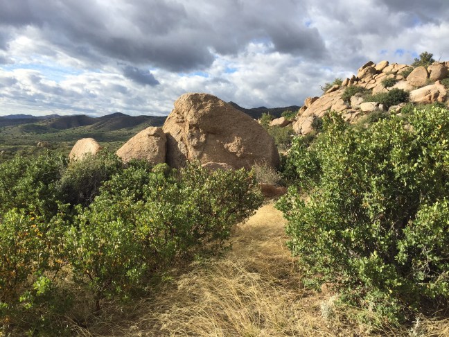
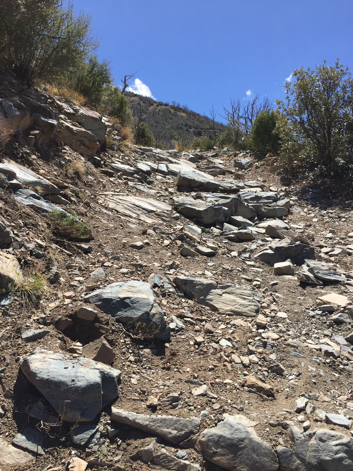
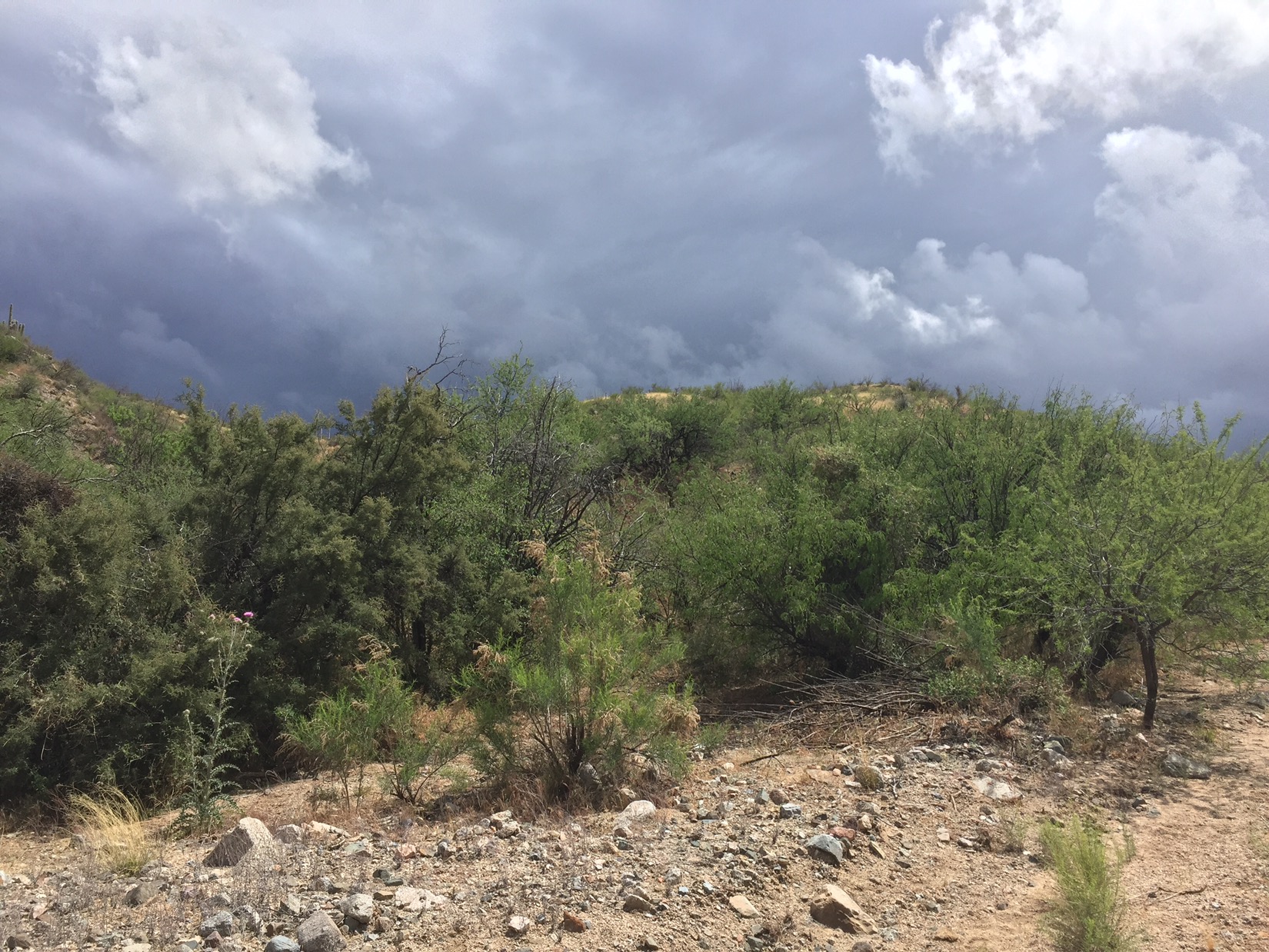
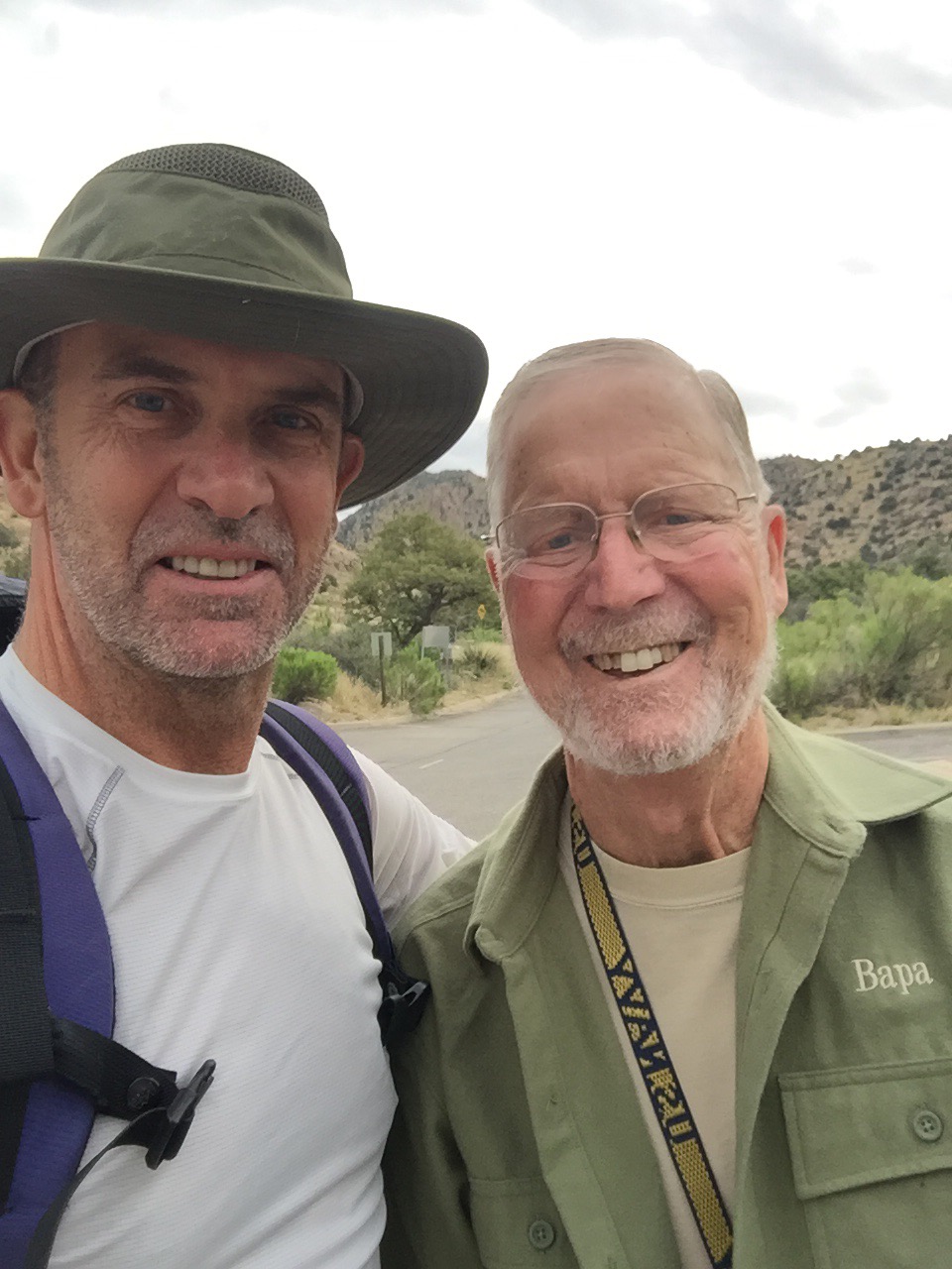
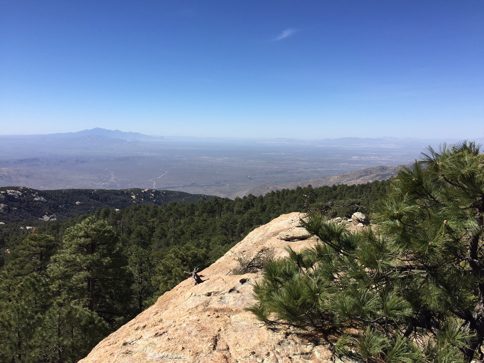
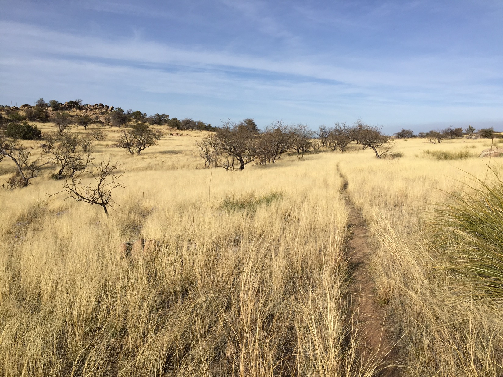
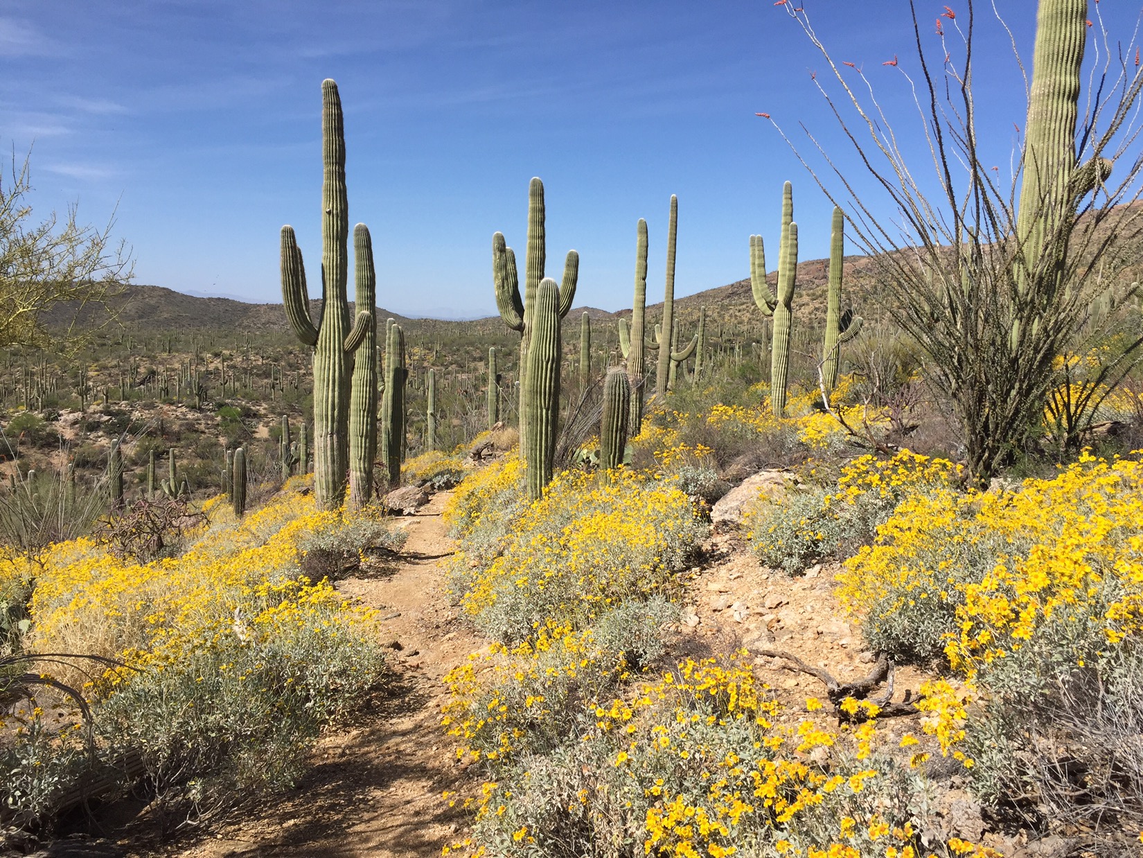
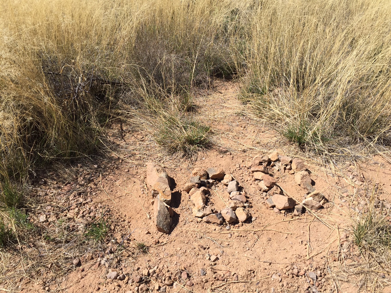
These are the 28th and 29th days on the trail, and this is the last range before rim country. It is by far the hardest. I try to find something inspiring in every section of this trail (and there are cool places in this passage), but for the most part this is the passage all AZT hikers complain about. It’s got the steep ascents and descents of the supers and four peaks, but lacks the long, ambling stretch of dirt road on top. What’s worse, the Mazatzals have been savaged by forest fires, and the trail is choked with with brush that grabs at my pack and clothing.

Moon before sunrise

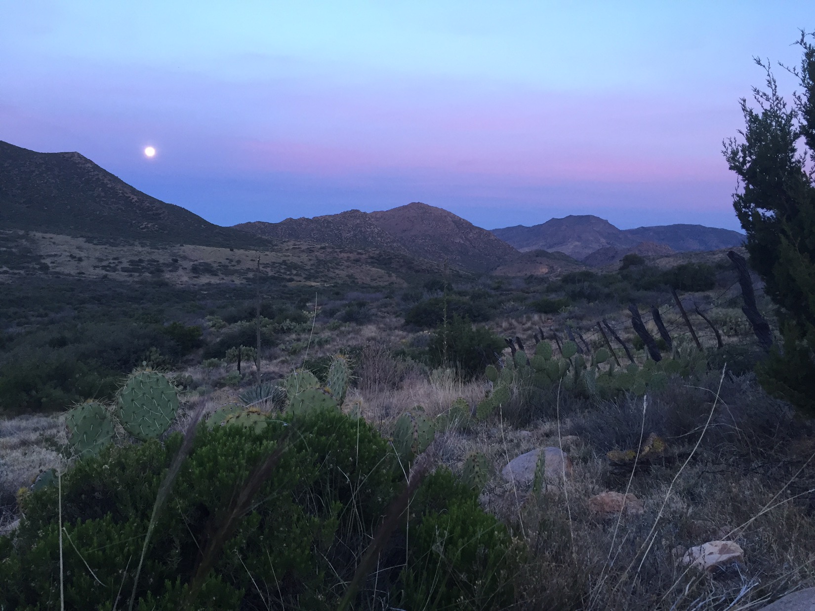
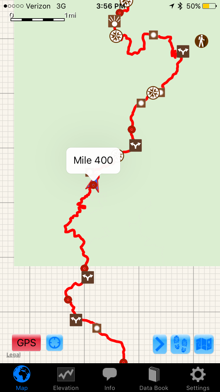
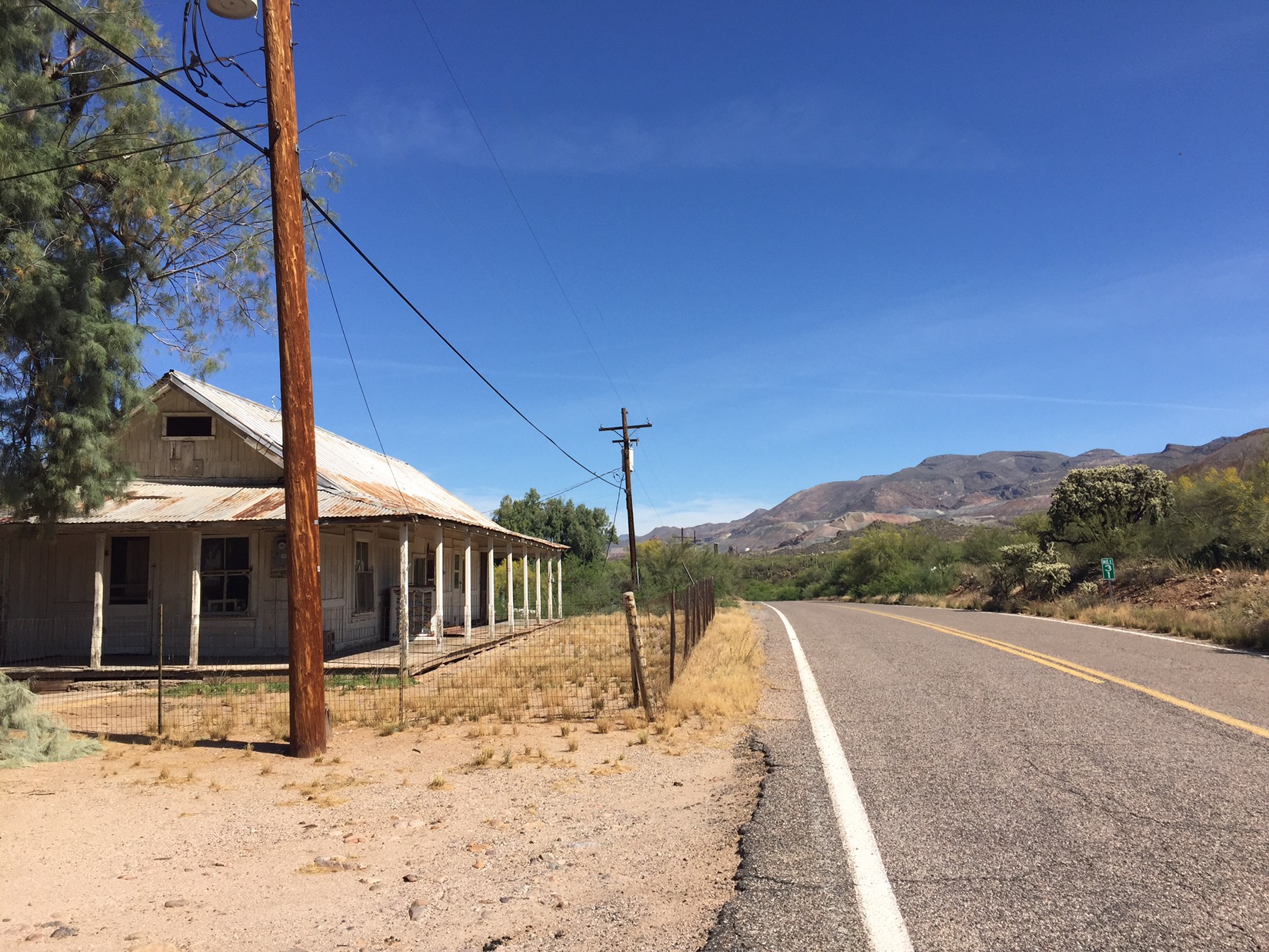
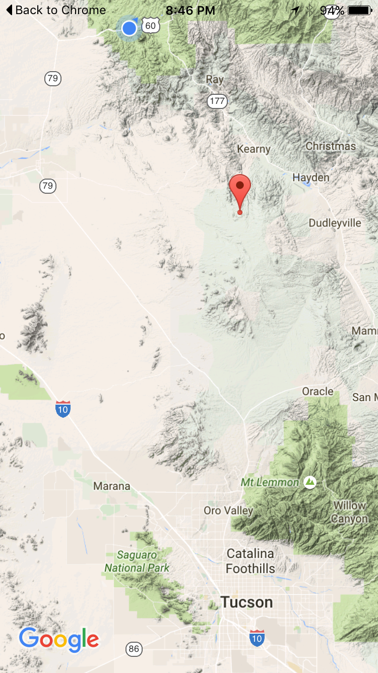
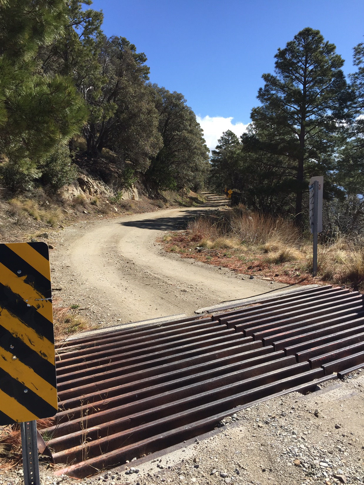
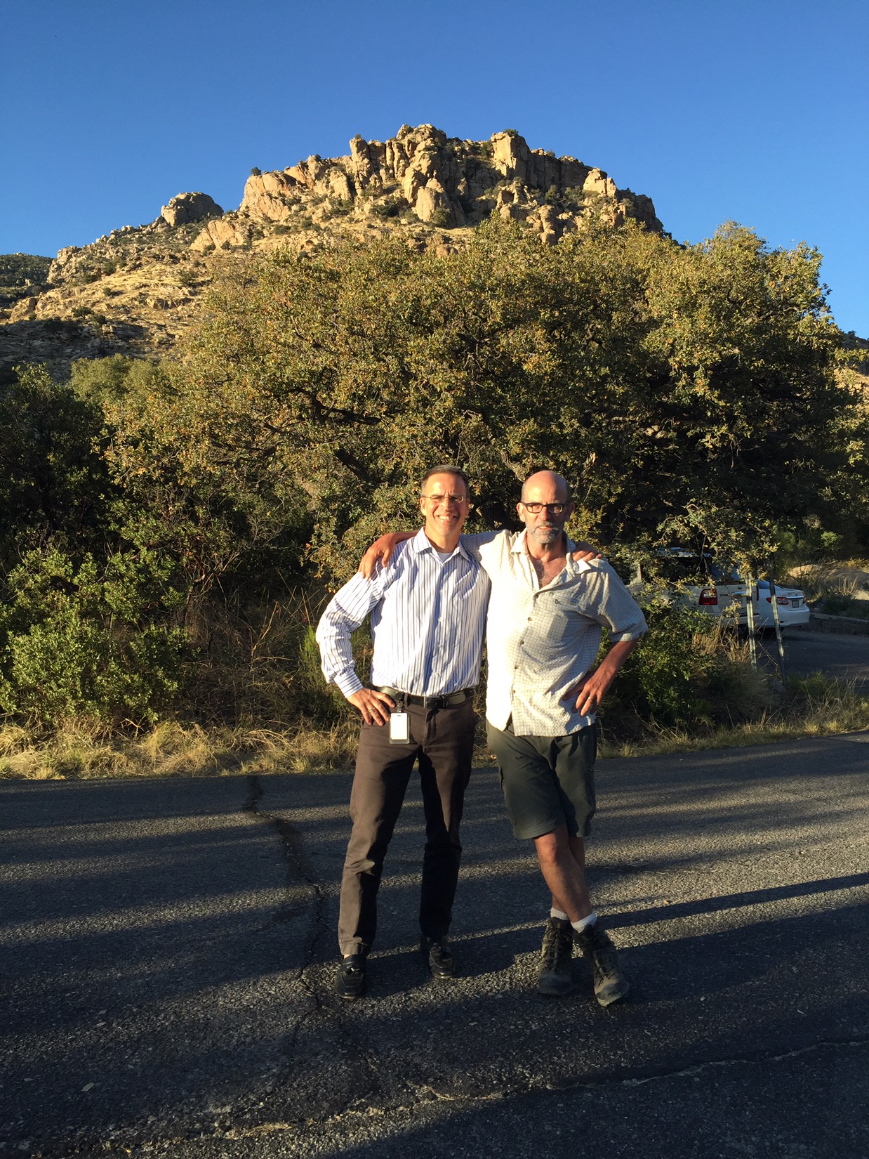
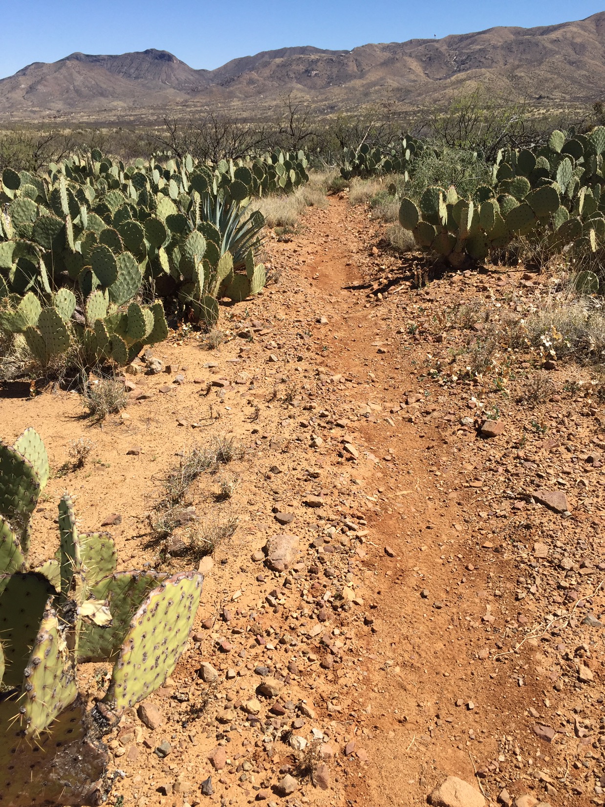
Knowing I’m in for a tough couple of days, I start early. That moon from last night is still in the sky just before sunrise, and it glows softly just to the west over the corral. The first miles of the morning take me under the Beeline Highway, and slowly up the southern slopes of the Mazatzals. I don’t realize it at the moment, but by the time I hit mile 400 I’ve seen the last of the Sonoran desert (and completed half of the Arizona Trail). I’ve given up using topo maps, and am mostly navigating with a Guthook app on my iPhone that shows notes on water sources, key landmarks, and my position on the trail.

Halfway

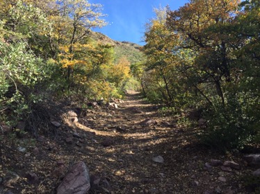
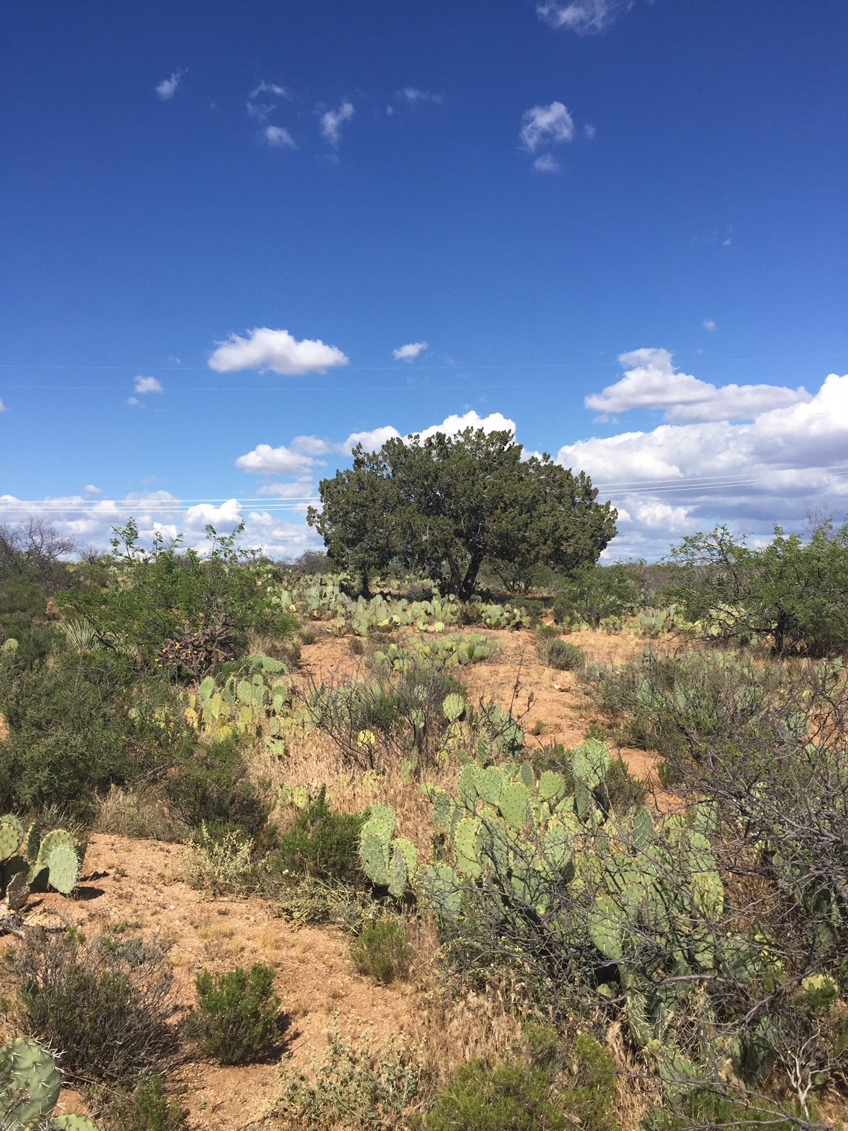
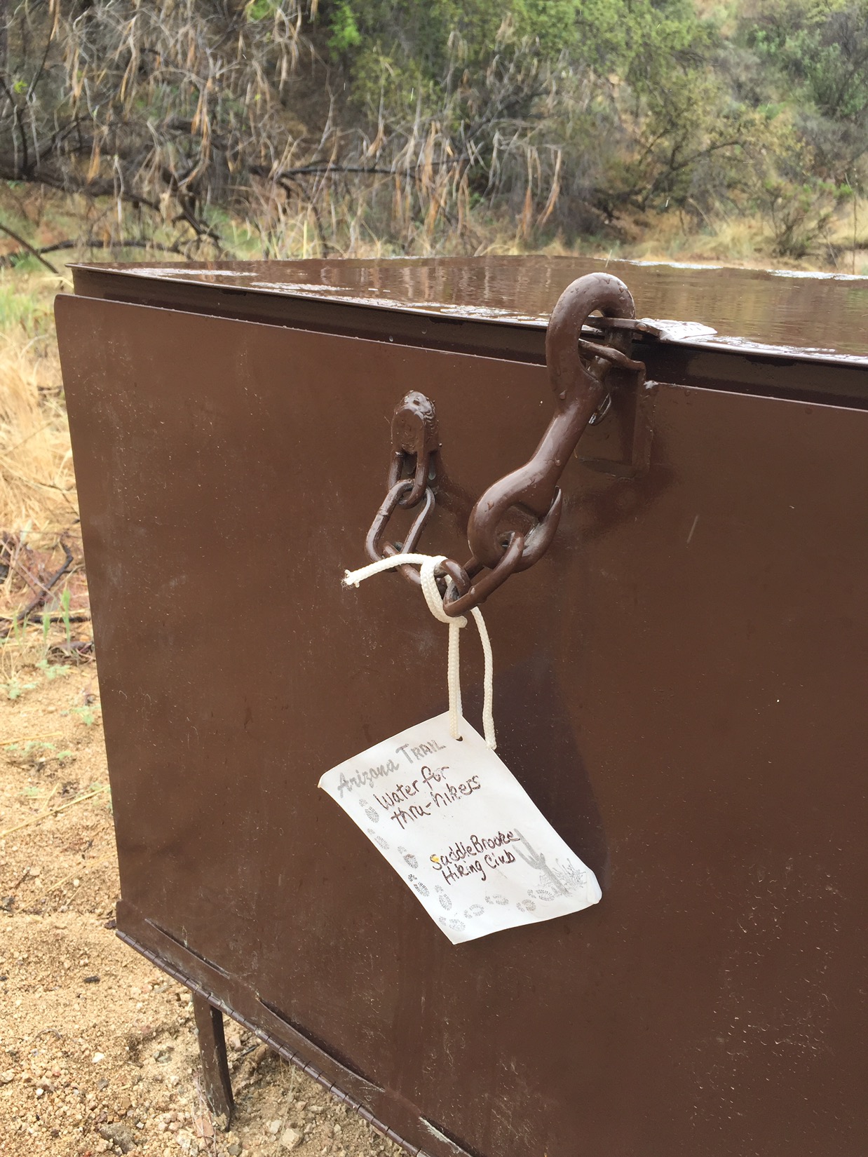
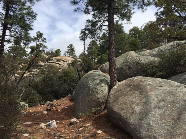
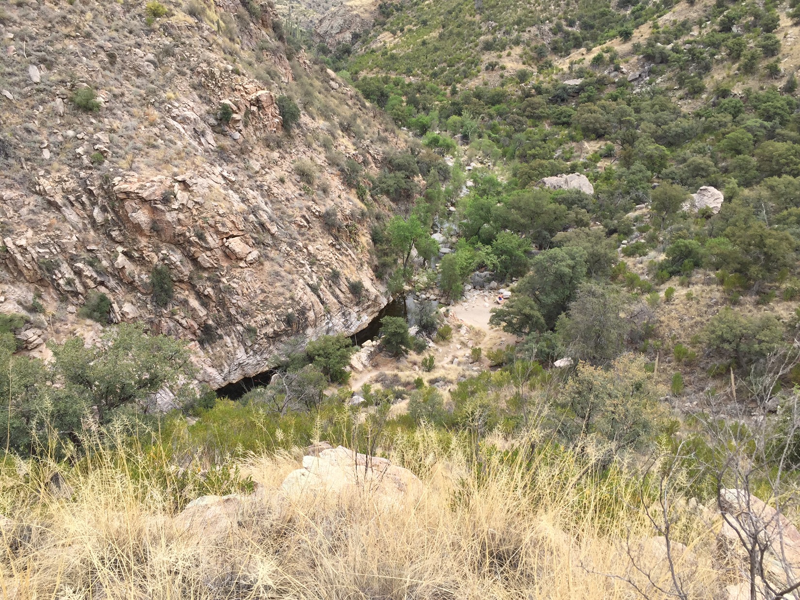
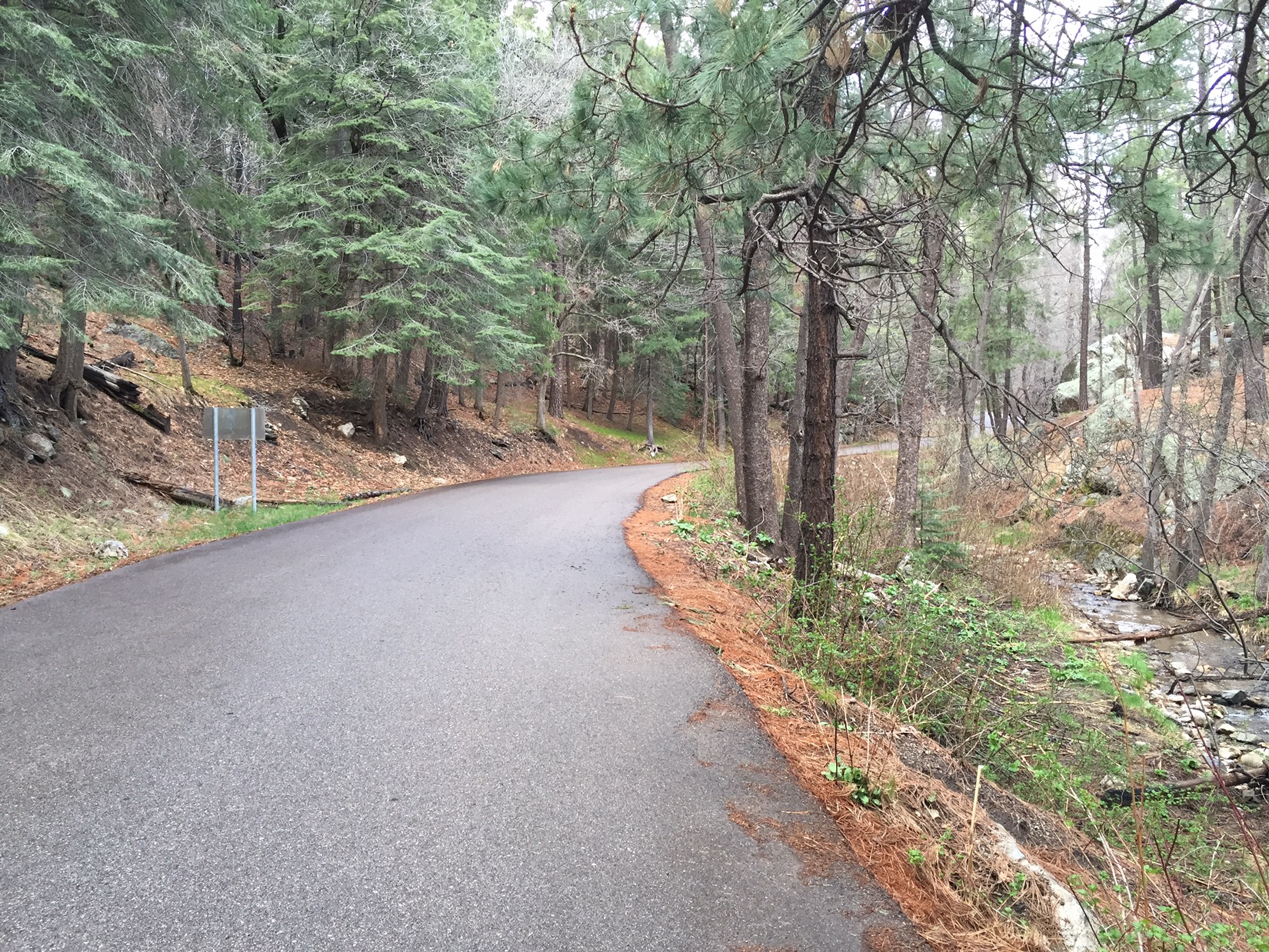
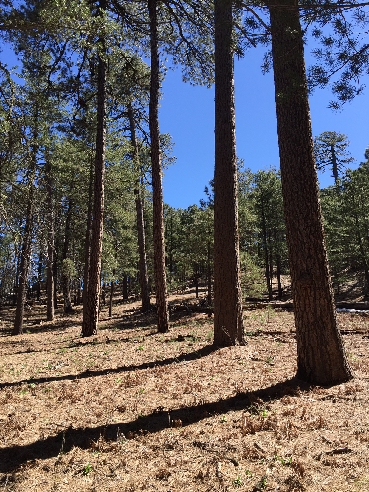
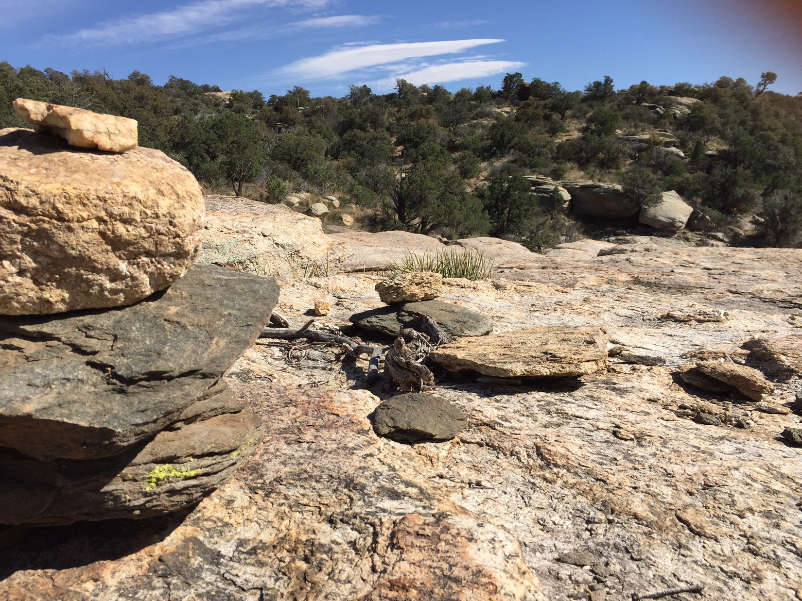
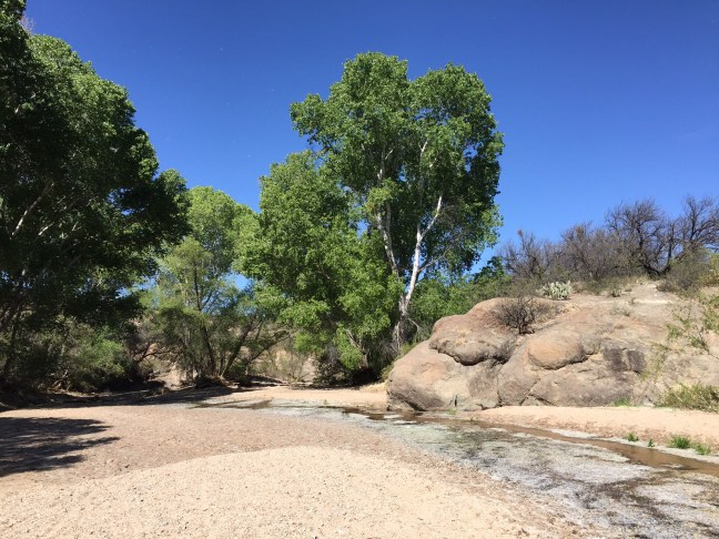
Although the days are mostly hot sun and manzanita, there are moments of deep shade and beauty. When the trail dives into deep canyons that the fires couldn’t reach, I pass through stands of tall pine trees. Many of these canyons have small springs called seeps where water trickles out from the slopes and crosses the trail. My favorite of these is Horse Camp Seep, not only because of the pools of sweet water on the slick red rock, but the images the name evokes of cowboys finding their way to this camp without an app or GPS. I might need to man up a bit.

Horse Camp Seep

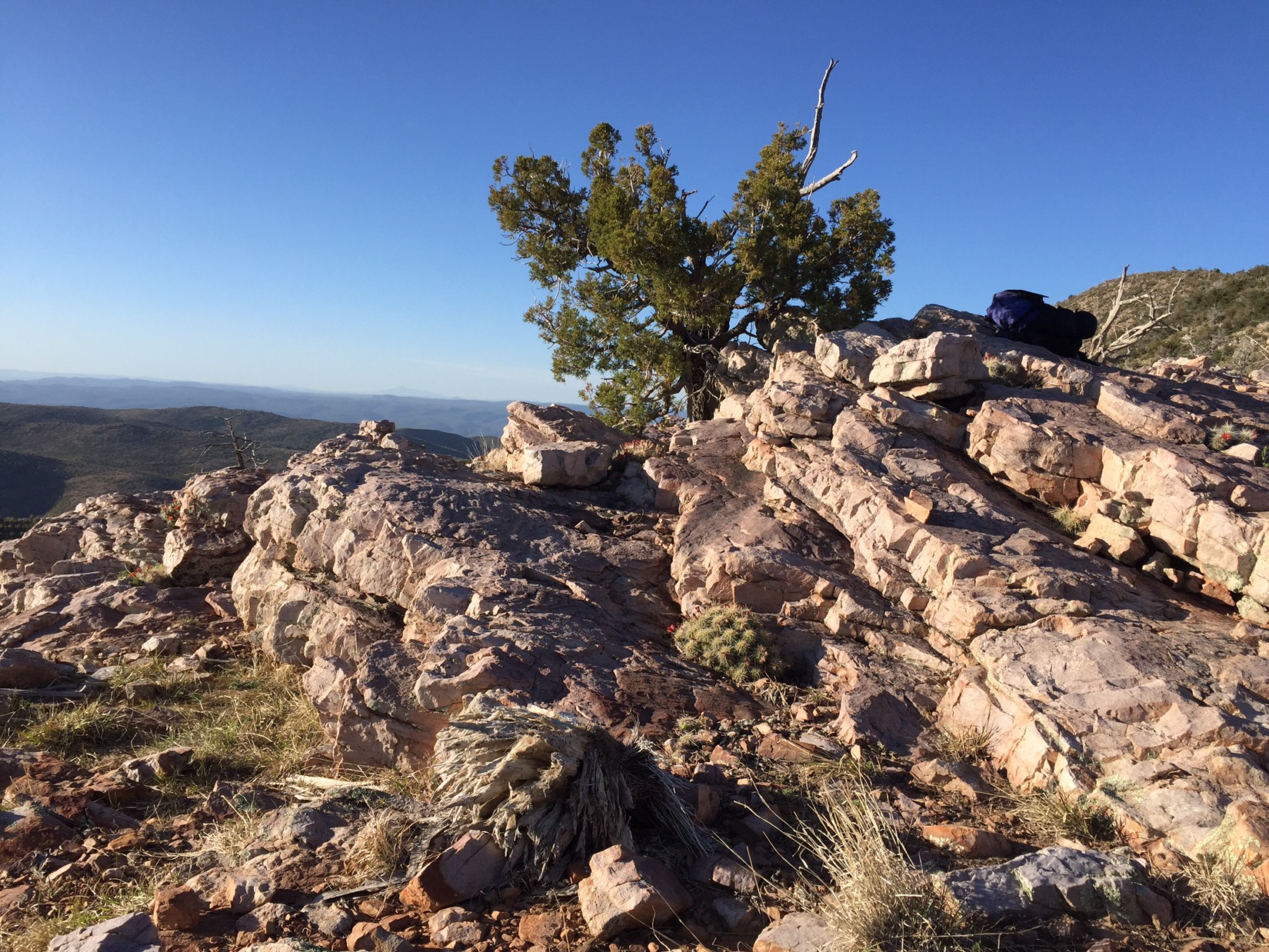
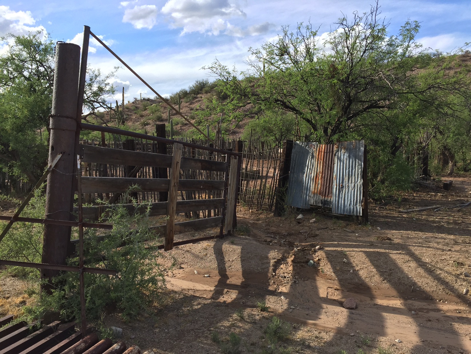
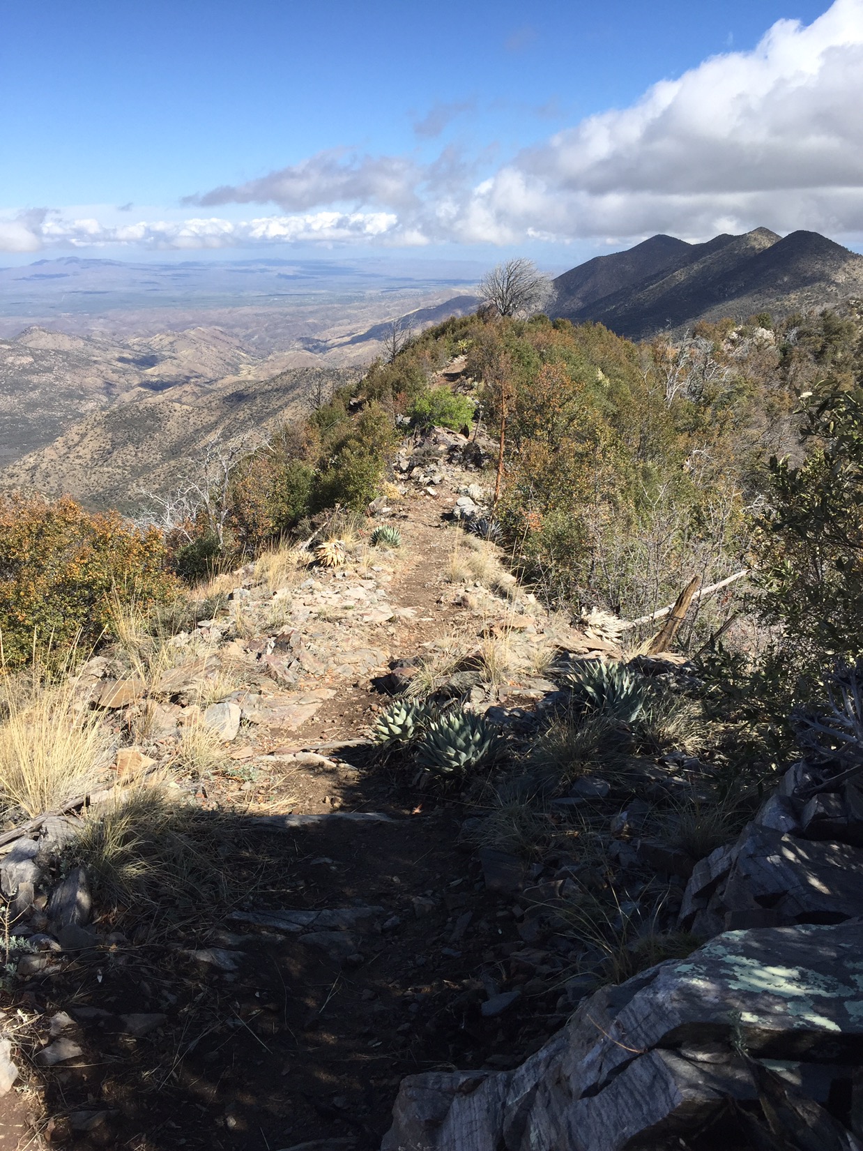
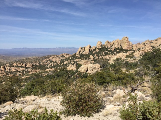
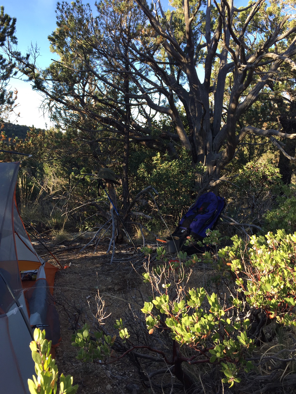
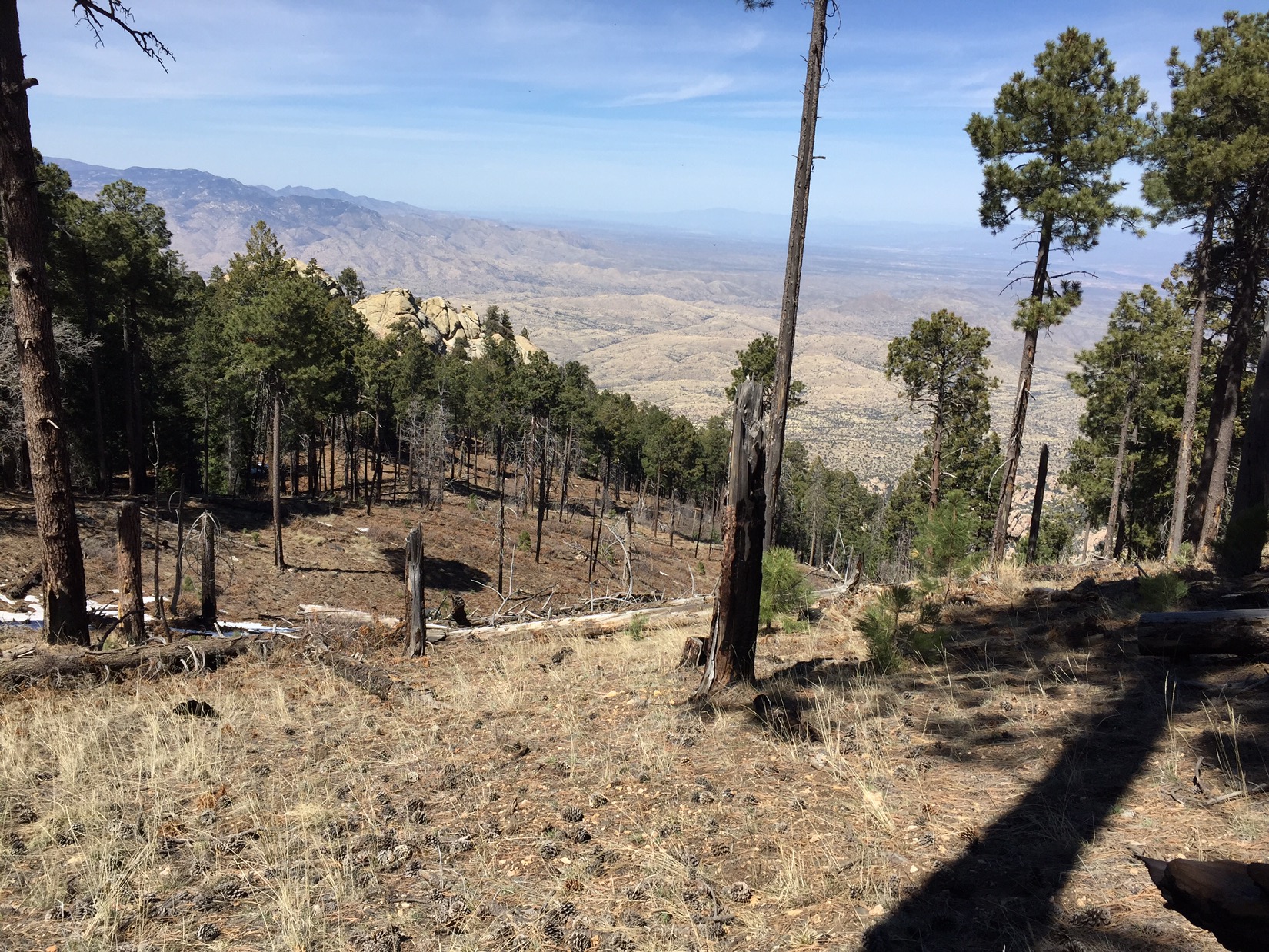
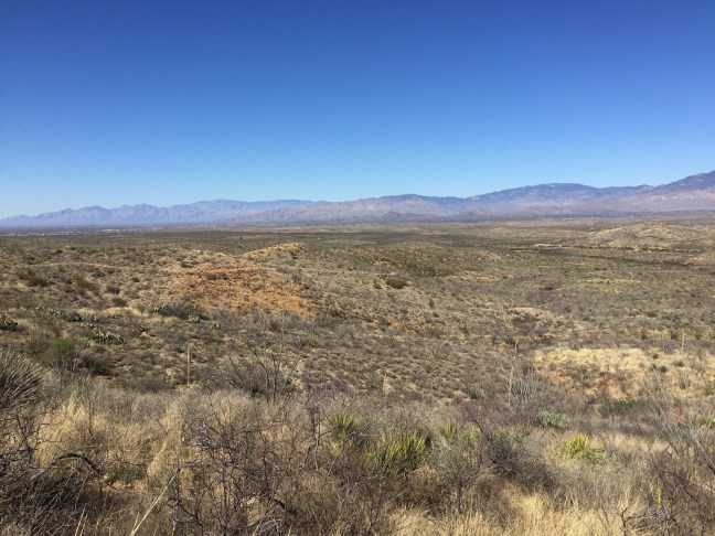
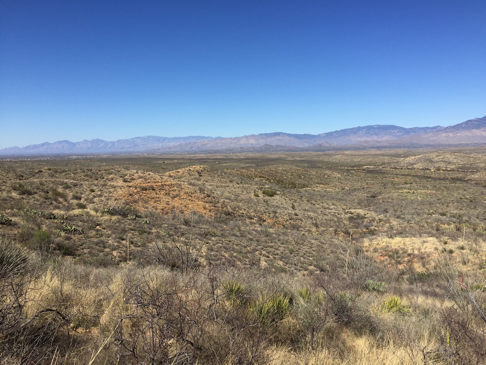
By the second night I’ve reached the end of the range. I camp just 100 yards below a rocky ridge that opens up dramatic views of the Mogollon Rim to the north and beyond. Family history on my mothers side is concentrated in that country. Soon the trail will pass by ranches, cabins and canyons that I’ve always heard spoken about but rarely if ever put in any kind of context.

Entering north country

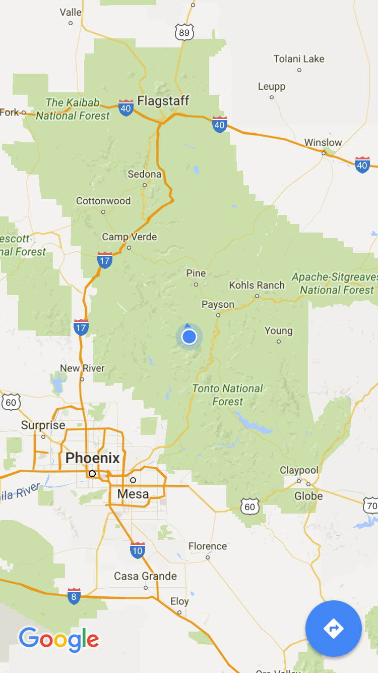
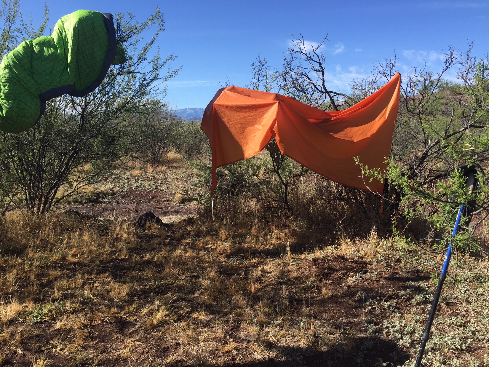
As the sun sets it gets chilly for the first time in weeks. The last light shines on the ridge, and I can barely make out the San Francisco Peaks above the dark green line of The Mogollon Rim. They are white with snow from a storm that passed trough Flagstaff just one or two days before. It’s hard to believe I’m seeing them (Google maps assure me that’s them) after all this time in the desert. The Peaks represent a bit of a spiritual goal of this trip, but I have more than a hundred miles of hiking to do before I reach them.

You can barely see the Peaks on the horizon

April 14: Kearny

My 20th day on the trail is a rest day
After packing up, I had to hike only 1-2 miles before reaching the end of the trail. I soon looked over a little valley with the muddy brown Gila River rushing below me with big green trees, scattered houses and a highway that narrowed to a one lane bridge. It was the desert version of a New England village scene, with the Asarco copper mine standing in for the granite mountain towering over everything.


In this region, the copper mines dominate life and landscape. The town of Kearny was actually created in 1958 by a copper company when the growth of its open pit mine destroyed three other towns and they needed a place to move all of the workers. The mine if still the biggest employer in town, and even though Arizona still supplies most of Americas copper, there were layoffs at the mine last year.


Feeling free to do whatever, I walked a bit along the highway past mobile homes, adobe ruins and territorial style mining houses, then hitched a ride into Kearny 6 miles east. My ride dropped me at the laundromat. I spent the afternoon killing time, catching up on stuff and resting my feet. A few hours at the laundromat (with posters on the wall warning parents to keep their kids off the machines), lunch at CJ’s market (near an older guy having ice cream with his 6 year old great granddaughter). I wrote some blog posts at the Kearny library (where the popcorn is free but you can only use the PCs in one hour increments). They had to close early because it was library night. I don’t know what librarians do on library night but they were pretty fired up about it.


After leaving the library I trudged thru the residential part of town up the hill to the business district. The residential part was laid out in 6-7 big semicircles all radiating outwards from the business district. All the houses were small, tidy and looked as if they had been built at the same time by the same developer – a little western Levittown. The population is only down to 2000 from a high of 3000 in the last 60’s. I passed kids riding bikes on their way to baseball practice.

My motel was in the business district, which was one strip of highway about half a mile long with one story buildings on either side. The Pinal County Courthouse looked historic, the rest straight from the late 50’s and 60’s. The motel was on the far eastern end of the street, across from family dollar. Looking to check in, I opened the door to the side of the motel building and walked from bright desert sun into a dark barroom. A group of about 5-6 young, beefy, bearded guys turned to look at me and then went back to their conversation. Thinking I had opened the wrong door I went to the other side of the building only to realize that the motel reception desk WAS the bar, and the receptionist was actually Ashley the bartender. Kearney didn’t feel cozy.

My brother Chris drove up from Tucson to bring me some re-supply: new sleeping pad, water bag and (yes I give up) a small tent to replace the bivy. We got beers from Ashley and took them outside to a picnic table by the horseshoe pits. After a while, we ordered Mexican food for the restaurant next to the bar and the waitress brought it outside to us. We sipped our beers, ate our enchiladas and talked about life as the sun set and the air cooled. The group of beefy, bearded guys ventured out to the grass near us playing some type of balance game. They were nice guys joking pleasantly with each other and calling me sir when I asked about the game. The waitress from the Mexican place kept coming out to make sure we had what we needed, and when it got dark she flipped on the outside lights so the courtyard between the motel/bar/restaurant was slightly lit. Chris and I agreed that Kearny was actually just fine.

April 12 & 13: The Tortillas 

My 18th day on the trail

About 30 miles north of Tucson, on other side of Catalinas, the highway forks at the town of Oracle Junction. Route 79 heads NW up through the town of Florence and the Arizona state prison. Route 77 heads NE up through mining country and the towns of Winkelman, Hayden and Kearny. The two routes merge into other highways, bend back towards each other and meet again in the town of Superior. In the 2400 square miles of space between them, about 60 miles long and 40 miles wide, lie the Tortilla Mountains. No paved roads, no towns, no natural water sources. It took me about two days to pass thru that stretch. 


Big stretch o’desert
 
The first day began with a bit of rain. The last traces of the storms that had passed up from Tucson over the last couple of days. As I passed thru a gate mid morning, I saw a women crouched down on the trail underneath a big umbrella. She was not happy about the rain; not happy about hiking solo. We hiked together for a few miles to keep each other motivated. She said she worked as a vet in Oro Valley and told me the coyotes I had heard a few yards on either side of me last night were probably yelping because they had found a kill. I found that a little unsettling.


The last of the clouds…for now
 
As the day wore on I let the other hiker get ahead of me. Her pace had picked up along with her spirits and she was too hard to keep up with. The Tortillas were mostly uneventful: flat, hot, dry. Towards the end of the day, however, as shadows lengthened, the desert floor turned to course sand, and the trail started to roll and twist like a lazy roller coaster. I love this type of desert: if something died and fell to the sand, it would be bleached bones in a day. Pure. The vastness is broken by full trees that stand alone every 300-400 yards providing great cool shade. Juniper? Pinyon? 


Cool trees in a hot desert
 
About 2 hours before sunset, as the shadows lengthened and I started to despair finding a camping spot with any type of cover, I saw a shape looming. I thought it was a ranch house with trees, but as I approached it became clear the next few miles was boulder country. Great huge mounds of boulders on either side of the trail of the type cowboys would make a last stand in. I set camp in the lee of the largest pile and slept without the tarp, looking out at another starry night. 


Where I want to make my last stand
 
The next day I walked 17 miles. As I keep going and build strength I’m starting to cover more distance. It was a long time between water sources. My final water before camping was drawn from a 300 gallon cattle tank. I ignored the bees as I filled my bags and I ignored the bee wings in the water when I drank. The final night I was again able to leave the tarp in the bag and sleep under the stars. Beautiful

April 11: Bloodsucker Wash 

Day 17: Water in the Black Hills

Time to plan ahead and correct for few things: like what to do when everything you own gets sopping wet. When the last storm cleared yesterday, there was no happy sun to emerge and dry everything off. By 4:30 I had to set camp in order to be dry for the night – even though 2 hours before sunset.  This time the tarp/bivy/bag combo worked out. By the time the rain cleared after midnight, the stars came out and life was good.

Drying out  

Miles from nowhere
This is getting old but…brilliant sun the next morning at 6am. I spread everything out across mesquites to dry from the day before: boots, tarp, yesterday’s clothes. Jed Clampett style. Hiking by mid-morning. I’m now hiking passage 14 of the AZT. Called the Black Hills, this is supposedly the most remote passage on the trail. No cars, no highways, no other hikers (in two days not a soul). Mostly that’s because of another no: water. I love the variety of the desert but this stretch is pretty desolate. Hawks constantly circle sometimes above sometimes below. To pass time I start listening to Dylan: album by album starting with “Bob Dylan” in 1962.


Water for the herd
The day ended near Bloodsucker Wash. I need water for the next 25 miles: daunting. About 1/4 mile off the trail I find an old corral: chute and all. I first braved the stock tank with the water float, then climbed the iron water tower to take it directly from the source. I had to hold the bag while bees buzzed all around me. Walked another 2 miles before stopping and tying trap beaten a mesquite and palo verde and laying out bag. The rain has stopped at least for tonight, and the stars spread out above me like a planetarium show.

Water tank in Bloodsucker Wash

April 9 & 10: Oracle Ridge

Day 15 & 16: A Tough Descent


There is a driving option to Oracle

Third day of my hike, jolted awake by bright sunshine around 6am. Last night after that beer I hiked a short mile to the edge of town, around a bend and down a fire road where I camped in a stand of pines. Actually managed to get the bivy/tarp thing down this time (looked it up). Dry, warm, full. Packed up and walked a quarter mile down the dirt road that takes you 29 dusty miles down to Oracle, then skirted left before the cattle guard to take the Trail. For the next 11 miles, I hiked straight down 3000 feet along the spine of Oracle Ridge.


The Ridge Trail

The north slopes of these ranges always seem less varied than the south, but the views are outstanding. To the east and right of me were views of the historic (and pre-historic) San Pedro valley. More on that soon. To the west and left the view stretched to Casa Grande. Where I was walking was what cars see as they approach Tucson from I-10 and Phoenix. I could see Picacho Peak lonely like a mini Shiprock standing in the distance. The trail is at times single track, at times a rocky road so steep you can’t believe any SUV or ATV could drive it (they do). By mid afternoon the trail leveled off in the rocks above the town of Oracle.


Luckily walked DOWN this


That night I slept in a casita at High Jinks Ranch outside Oracle. It was land once owned by Buffalo Bill Cody, who thought he’d strike gold here but….didn’t. Cody sold the mine just before WW1 and died penniless (his famous Wild West Show was seized by lenders), but one of the riders from the Show bought the claim and built a wonderful old house on it. It’s now a quasi dude ranch, B&B and historic site. Kelly, who is running it for a few months while she writes a book, welcomes hikers, but for peace of mind she very visibly carries a pistol in her waistband at all times.


Dad in the High Jinks kitchen


Out of the blue, Dad drove the 45m from Tucson to meet me. He just wanted to see me. Kelly let us drink beers in the old kitchen at the High Jinks. Old rooms of slightly different levels surrounded us: a kitchen with wood burning stove, library with Navajo rugs, dining room with wood floors and brook stone walls. We had the best talk about everything and nothing. We confessed that after spending time together we cried when we watched the other drive away. After an hour he drove away, back to Tucson, under the big sign for the ranch. I was happy. I cried.


Oracle rocks


The next day I had an early start worried about heat and water. By 7:30 I was walking again. The sun slanted under gray clouds and shined bright on the boulders. Oracle high country is the prettiest ever. I can see why Buffalo Bill fell in love with this place. I soon headed down into the San Pedro. It flows north from Mexico to here and then further until it hits the Gila. Dad says it has some of the greatest archeology sites in Arizona because people have lived here for thousands of years. There are sites ranging from Clovis hunting mastodons to 19th century ghost towns. The river appeared every hour or so a few miles in the distance as I parallel it walking north.


Thank you Trail Angels

By late morning, great grey clouds were angrily looming and whipping around. Always threatening but seldom more than a mist. Finally at noon they hit and I waited out a rain shower in an underpass drinking water left in public bin. When it broke I walked up Tiger Mine Road in the sun briefly then another squall. After an hour I was soaked thru then sun again. Blooms and rain smells all around me: purple hedgehog cactus flower, orange flames on tips of ocotillos, yellow roses on prickly pear, the sweet smell of creosote. In the distance mountains were obscured by mist but the sun was shining on me.


Storms came from the SSW

It continued like that all afternoon. Clouds rose up like battalions on the horizon, billowing and menacing, then crashed over me. I just had time to put on a poncho for 15m of rain, then the sun came out again and dried my pack and clothes. Then rinse and repeat. I’m wet but so happy. As Oak says, “The road to heaven is heaven”.

April 7 & 8: Wilderness of Rocks

Days 13 & 14: Back on The Trail

My second day on the Arizona Trail ended with a beer at 8000 feet. Let me rewind and catch up a bit.

img_1841
On top of the Catalinas

All of my blog posts to date have covered the first stage of my hike, starting from Mexico on March 2 and ending 160 miles north at Molino Basin campground in the foothills of the Catalinas on March 16. Now after 3 weeks of R&R with Chinita and family, I’m picking up the hike (and the blog) where I left off. Dad dropped me off at Molino on April 7 at 7am (by far the earliest I’ll start this whole trip…thanks Dad, we hugged goodbye and I was off.


Dad sees me off at Molino Basin

My goal in two days was Summerhaven, 22 miles and 4000 feet above Molino. I was anxious – about how my feet were going to hold up, about sleeping in a bivy, about whether I’m going to complete this crazy hike. The idea of sleeping in the bivy (a large waterproof sack that fits over your sleeping bag and zips over your head) is going to be tested tonight. There’s rain and lighting in the forecast. It sounded fine on the showroom floor of the SOHO REI.


I swam in Hutch’s Pool: cold

The first day didn’t auger well – at all. It started nicely: walking thru an area that I used to know as “Prison Camp” and now called Camp Hirabayashi (kudos to Emma Hard for opening my eyes to the brutality of Japanese internment camps), Hutch’s pool (the best swimming hole in southern Arizona), walking upwards into the mountains beside the Catalina highway as the bikers zoom downhill (sometimes reaching 50-60 MPH). Morning was brilliant.
But by afternoon my worst fears seemed to come true. My feet hurt (plantar I suspect). My pack, which I had hoped to lighten by 3-4 pounds since last time, feels like a ton of bricks. That night, when I camped just below the saddle at Romero Pass, I was miserable. Dry and warm thanks to a light tarp I put above my bivy and pack, but I’m claustrophobic in the thing. On top of everything I can’t contact anyone because there’s no cell coverage when I though there might be. The hour between midnight and 1am, when the rain came down even harder and the first thunder rolled in, wad the hardest. Zen thoughts.
But, as always, the next day was great. I woke at dawn to find myself still alive (and dry). A great cup of coffee. What was best, my feet felt great. So far everything that hurts on one day works itself out the next as long as I don’t do anything stupid.


Wilderness of Rocks

The morning of the second day started straight uphill. Soon I walked through one of my favorite trails in the world: the wilderness of rocks. The trail plateaus and climbs gradually for 5-6 miles before Summerhaven. Huge boulders each one like its own beach for sunbathing. The trail dives into pines with little creeks. But mostly it’s literally wilderness – trail ducks in and around boulders of every size and shape. Giant clouds boom and loom. Heaven.


Finally: steps from that beer (and camp)

By 5 I get to Summerhaven road. I walk up the paved road surrounded by green, by water and tall pines. I stop at Sawmill Restaurant for that beer. A burger too. Charge my phone, fun texts with the family (Hanna Hard wins her age group in the Sabino Canyon Race!) refresh my water then head out before it gets dark. It seems crazy to leave a cozy place for the dark and rain but I’m I going to try a new way of tying my tarp.

March 15: Mica Mountain

Day 12: Up and Over

As a sophomore at Amphi High School I would spend breaks in the school library, reading Arizona Highways and planning backpacking trips I’d take someday. A bit dorky. Now as I pass the trees on the trails I always dreamed about, I want to know what I’m seeing. I find this site in a few seconds and start studying trees. Still a dork.

On the morning of the 15th I wake in my camp at about 6400 feet. I’m on a forested ledge in the Rincons with a view south over the Tucson Valley and (further) the Santa Ritas.


A large alligator juniper stands right by my campsite. My tent is surrounded by great clumps of manzanita, with twisted branches of red smooth bark and the small green leaves and the white flowers that hang in clumps like little sleigh bells. As I leave camp and hike north and up, I can hear the rush of Chiminea Creek deep in the canyon below me.

By midday I’ve hiked 2000 feet higher – enough to cross Chiminea Creek closer to its source. Now there is snow in the shady spots and the louder sound of water pooling under falls and rushing over boulders. I walk under tall ponderosa pine, and the trail grows faint and crosses a bare forest floor covered with dry needles and cones. The sound now is wind filtered by pine needles 50-60 feet overhead. Sounds like summers in Flagstaff. When I crest the mountain and start on the north slope I see aspen (not yet leafing) and thick, green fir trees.

In the afternoon, the decent is rapid down the north side. The view is to the northwest and west – a whole new world to a Tucsonan. Due north I see the fertile canyons of Aravaipa Creek and to the west I see into the Gila Wilderness and New Mexico. I descend through boulders thrown around like giants playthings. The manzanita re-appears all around me. They are beautiful in both life (green leaves and red bark) as well as death (dry, twisted, grey and ancient). Scrubby little pines that could be apache pine or pinyon, and soon desert olive trees.

At the base of the mountains I cross Tanque Verde Creek. It’s full of clear, sweet water and feels like the border. Everything north of here is Redington Pass and, beyond that, the Catalinas. I make camp on the night of the 15th somewhere in the pass, setting my tent somewhere around mile 151 amongst the tall grass and mesquite trees.


My final day of hiking is spent climbing out of Redington Pass, passing juniper, sycamore and the occasional Cottonwood whenever we cross a perennial creek. Cottonwoods with bright green leaves that stand out so clearly in the desert: their roots are the only source for Hopi kachinas carved the traditional away. I pass horny toads, cattle, horses and roadrunners. Fittingly, the last mile is the hardest. The trail gains 1000 feet in a mile and crests above Molino Basin Campground. Cresting not only gives me relief from climbing, it opens up the next chapter in the trek. On the other side of the hill I see the Catalina Highway, snaking 20 miles up from the valley floor in Tucson to the Mt. Lemmon at the top of the Catalinas. I descend into the campground where Chris picks me up for what’s turning out to be the celebratory dinner of the AZT: enchiladas and beer. 


March 14: The Rincons

Day 11: Rattlesnakes and Bumblebees

The rattlesnake didn’t like the fact I’d stepped on his rock.
It was late morning, and I’d already made it into Saguaro National Monument and the slopes of the Rincon Mountains. I had been keeping an eye out for snakes (they like the warmth of the rocks near the trail) yet was still surprised. I stepped onto the lower corner of a broad flat rock. About 6 feet away and level with my left shoulder, I heard a sudden, and very loud, rattle. I jumped and ran like Johnny Depp in Pirates of the Caribbean – my hands fluttering as I scuttled backwards. I looked like an idiot. I think I might have even apologized to the snake (“Sorry! Sorry!”) as I ran back. When I got safely back about fifteen feet I turned to see a 3 foot long rattlesnake, rattle still buzzing (but softer now), coiled and glaring at me. I slowly backed away, made a wide circle around him below the trail, and kept hiking.

My day had started earlier that morning at 3400 feet in elevation down on the desert floor. Off by 8am with the shadows still long and air cool. For the first 90 minutes I was surrounded by wildlife – rabbits breaking, quail flying – but by mid-morning the sun started to beat down and the animals went under cover. I passed by mesquite, ocotillo and rusted water tanks with windmills.


Then by late morning I was up around 4500 feet. The mountainside was covered with tall saguaros. The sage bushes, with pale gray leaves and bright yellow windflowers, crowded both sides of the trail. With the flowers came hundreds of bees, so walking was already a little unnerving. Then that snake.

My day ends today at about 6300 feet up on the south flank of Mica Mountain in the Rincons. Surrounded by scrubby oaks, pinyon and pine. The trail dives under the shade of the trees, then passes over broad rocks with only rock cairnes to mark the way.

March 13: Cienega Creek

Day 10: Spiritual Guides

I hope I don’t lose you with the spiritual stuff. Bear with me.

This morning Chris dropped me at mile 110 of the Arizona Trail: where it crosses Old Sonoita Highway. I’ve just taken two days off from hiking – to be with my family at the memorial service for my uncle Duane Miller.

Walking again is not hard. Yes there is a physical aspect to doing this that is brutal: hurt feet, tired legs, thirst, gotta hike 16 miles today, etc. But it’s not hard. I’m pulled forward most of the time. By thinking of the day ahead, of the next water stop, of the next adventure. I’m mostly pulled forward by people. Thinking of them: the lessons they have for me.

Sometimes the people play active parts in my day. They help me mark time. I spent 2 hours with my wife and kids this morning texting photos of where we were: Emma on a beach, Clay doing homework (with bad hair), Syd and Chinita at brunch in New York.

But mostly the people aren’t active in my day. They’re not talking to me. I’m solo. Spiritual. Thinking of them. What lesson do you have for me? What memory do I have of you? I spent 3 hours outside of Patagonia just thinking about my wife’s laugh. I spend hours thinking about Edward Abbey and his thoughts in Desert Solitaire (I’m re-reading it at camp at the end of each day). These people pull me forward.

Today it’s Ben Miller. My cousin. Youngest child and only son of Duane and Beverly Miller. He spoke at the service in Sedona. I can’t express better than Ben and his sisters did what Duane Miller was like. Google his name, Arizona and probably “cattlemen” and you’ll get a sense of the man. As Ben said, his passing (and that of his brother Cecil) marked the “end of an era”.

I can describe the impact Ben had on me yesterday. I’m so proud of him. He stood in front of 100 people and helped lead them thru their grief. He was so funny, so thoughtful, all while his own heart was breaking. His dad would have been proud of him.

Today I think of this as I hike thru the desert. I think of the family I saw in Sedona. My Uncle Henry made a point of telling me that he’s following my progress on InReach. I know he follows me because he cares, also a bit because his sister (my Mom) is so nervous about me, but I suspect it’s also because he would love to be out here. He’s got Arizona in his blood. My whole family out here does. The stories everyone told at the memorial service were about life, love and family, but each was set against a backdrop of Arizona places that most people never see: Camp Verde, Rogers Lake, Woody Mountain. There are spirits in those places.  
I walk through places like that today. I started at 9 and walked 5 miles through Sonoran desert to Cienega Creek. I’m resting and checking my water here. It’s beautiful and more striking because of the dryness of the desert that surrounds it. It should be in a Baumann print, or an oil by Ross Stefan. All I can do is take a photo and think. I have spent years in Arizona and never been here, but I’ll bet Uncle Henry has been here. I wonder when he was, what he would say about it.

After this I still have 10 miles of desert to hike this afternoon. It looks hot out there. The Rincons loom and I know I have to tackle them tomorrow.

My family pulls me forward.

March 10: Tucson Valley

Day 9: Last day before break

On March 10th I walked out of the Santa Rita foothills and crossed northeast over into the broad Tucson Valley. At the end of the day the plan was for Chris to pick me up by the side of the Old Sonoita Highway, and then for my whole family to take a three day break up in Sedona for the memorial service for my uncle Duane Miller.

 It was a great day for reflecting on the previous weeks walk from Mexico. I passed the 100 mile mark about midway thru the morning. I continued to drop in elevation. Grasslands yielded to prickly pear cactus, occotillos and creosote bushes (the bushes that give the desert that sweet tangy smell when the rains come and release the oil from their bark).


By late afternoon, I could see the Tucson Valley. Directly ahead of me were the Rincon Mountains, arrayed like the name implies, like giant corner bending to the north and east of Tucson. I would be hiking up and over those mountains in a few days when I returned from Sedona. To the northwest, north of Tucson and pretty much out of sight today, I could see parts of the Santa Catalina Mountains. I would be crossing those in April when I came back from New York.