April 7 & 8: Wilderness of Rocks

Days 13 & 14: Back on The Trail

My second day on the Arizona Trail ended with a beer at 8000 feet. Let me rewind and catch up a bit.

img_1841
On top of the Catalinas

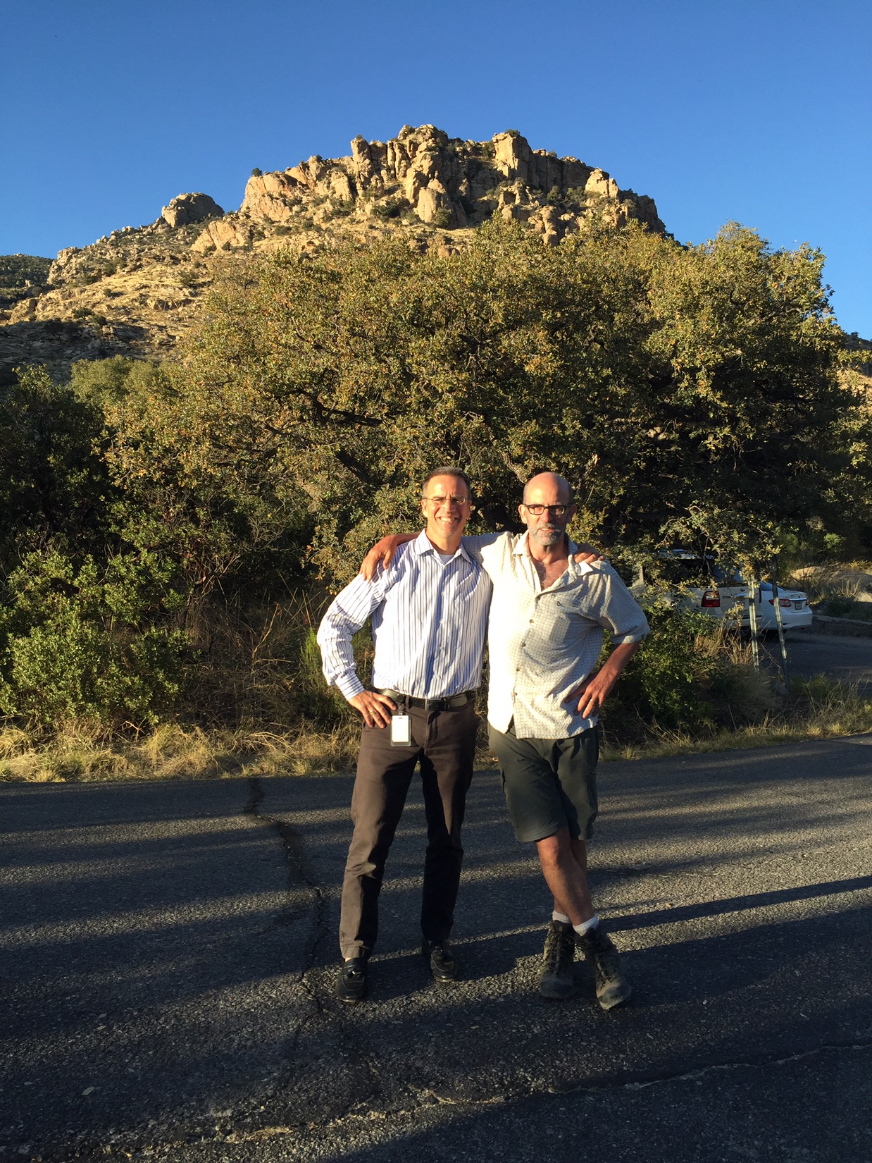
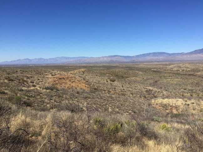
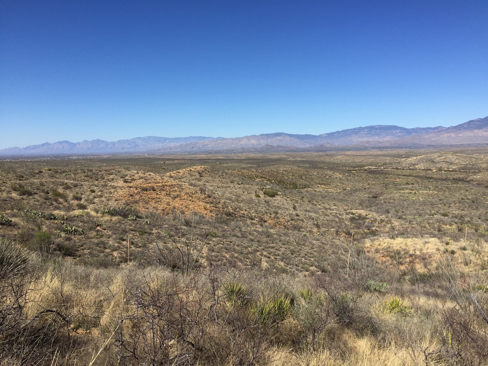
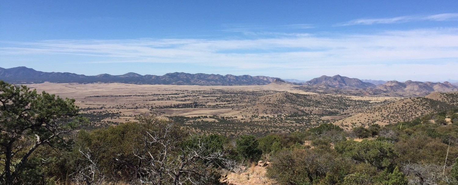
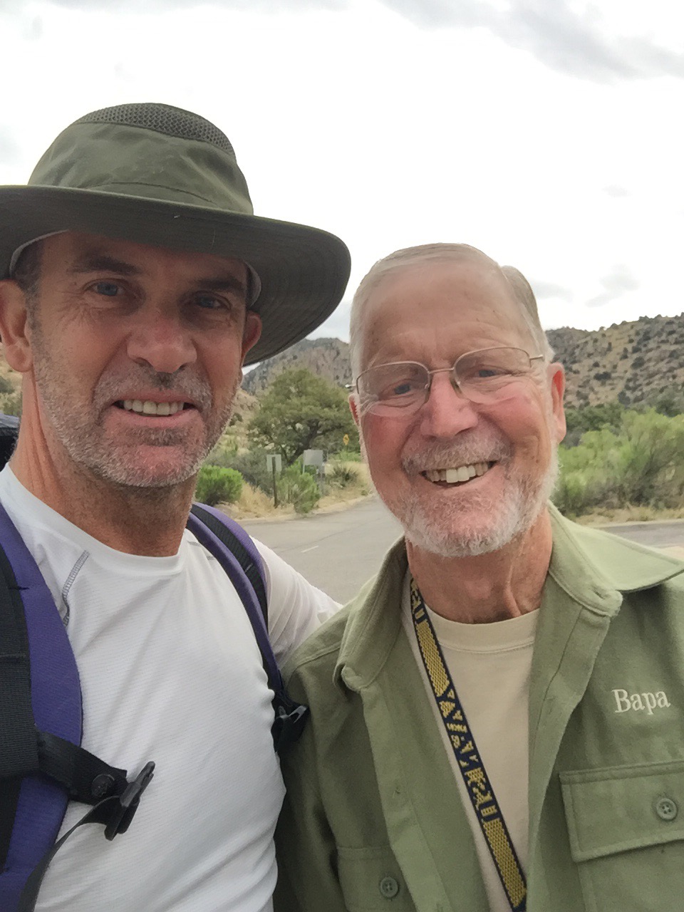
All of my blog posts to date have covered the first stage of my hike, starting from Mexico on March 2 and ending 160 miles north at Molino Basin campground in the foothills of the Catalinas on March 16. Now after 3 weeks of R&R with Chinita and family, I’m picking up the hike (and the blog) where I left off. Dad dropped me off at Molino on April 7 at 7am (by far the earliest I’ll start this whole trip…thanks Dad, we hugged goodbye and I was off.


Dad sees me off at Molino Basin

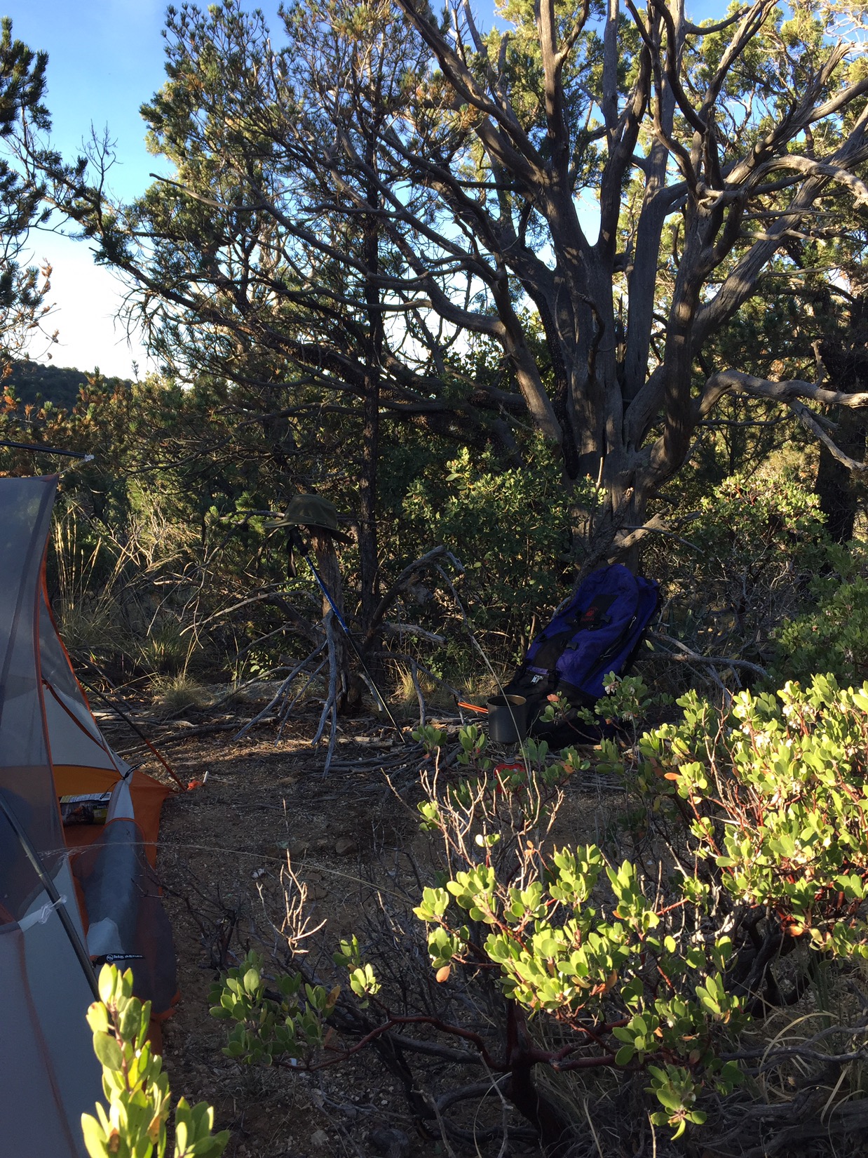
My goal in two days was Summerhaven, 22 miles and 4000 feet above Molino. I was anxious – about how my feet were going to hold up, about sleeping in a bivy, about whether I’m going to complete this crazy hike. The idea of sleeping in the bivy (a large waterproof sack that fits over your sleeping bag and zips over your head) is going to be tested tonight. There’s rain and lighting in the forecast. It sounded fine on the showroom floor of the SOHO REI.


I swam in Hutch’s Pool: cold

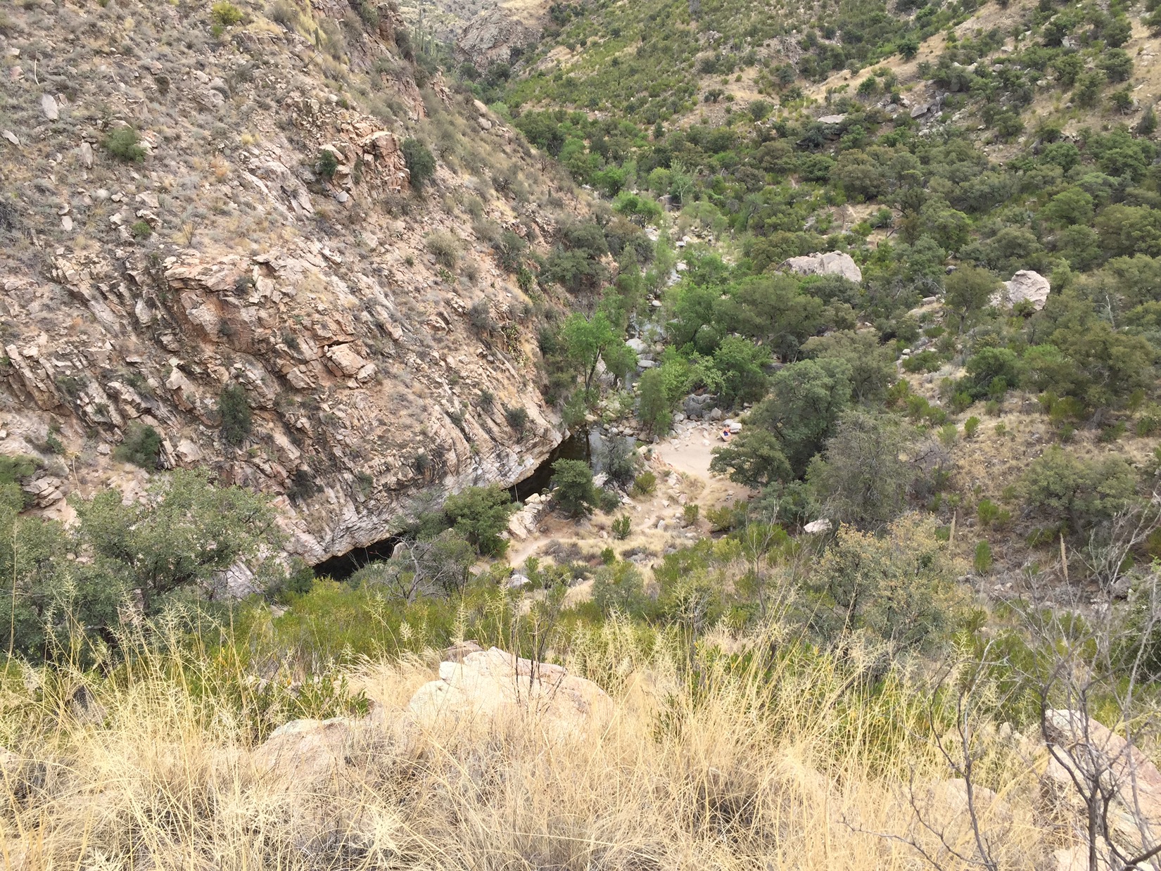
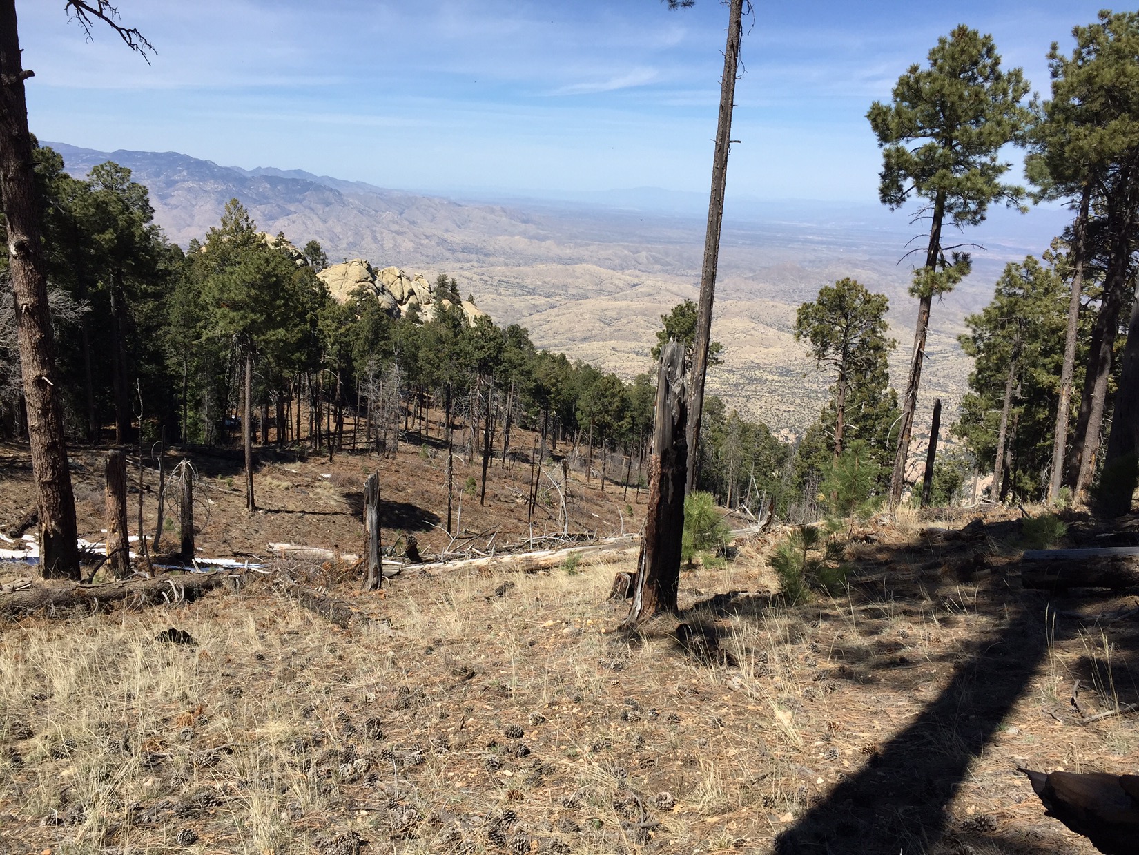
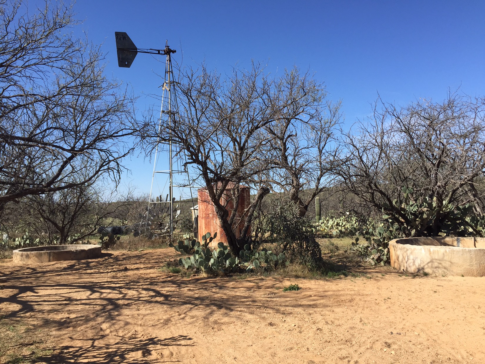
The first day didn’t auger well – at all. It started nicely: walking thru an area that I used to know as “Prison Camp” and now called Camp Hirabayashi (kudos to Emma Hard for opening my eyes to the brutality of Japanese internment camps), Hutch’s pool (the best swimming hole in southern Arizona), walking upwards into the mountains beside the Catalina highway as the bikers zoom downhill (sometimes reaching 50-60 MPH). Morning was brilliant.
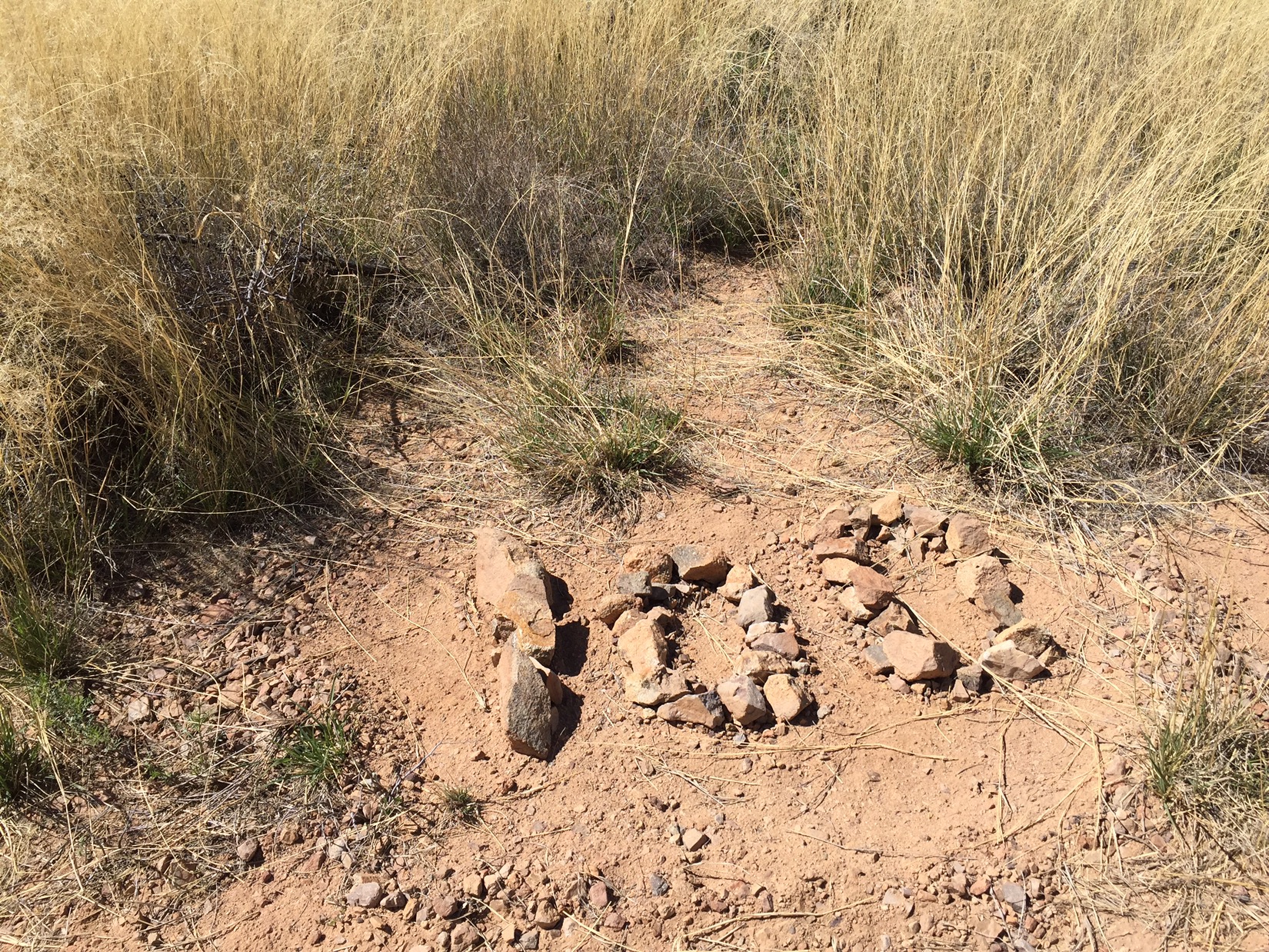
But by afternoon my worst fears seemed to come true. My feet hurt (plantar I suspect). My pack, which I had hoped to lighten by 3-4 pounds since last time, feels like a ton of bricks. That night, when I camped just below the saddle at Romero Pass, I was miserable. Dry and warm thanks to a light tarp I put above my bivy and pack, but I’m claustrophobic in the thing. On top of everything I can’t contact anyone because there’s no cell coverage when I though there might be. The hour between midnight and 1am, when the rain came down even harder and the first thunder rolled in, wad the hardest. Zen thoughts.
But, as always, the next day was great. I woke at dawn to find myself still alive (and dry). A great cup of coffee. What was best, my feet felt great. So far everything that hurts on one day works itself out the next as long as I don’t do anything stupid.


Wilderness of Rocks

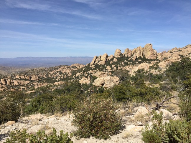
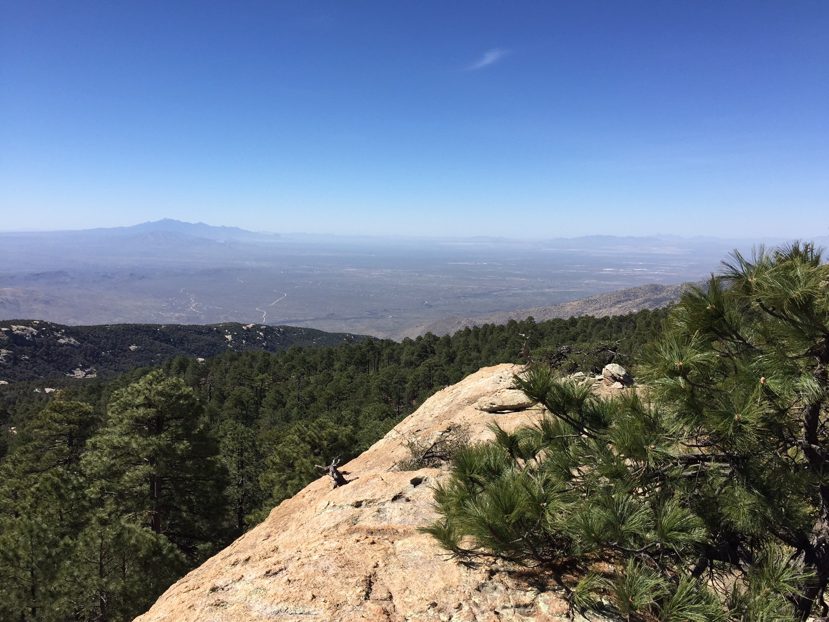
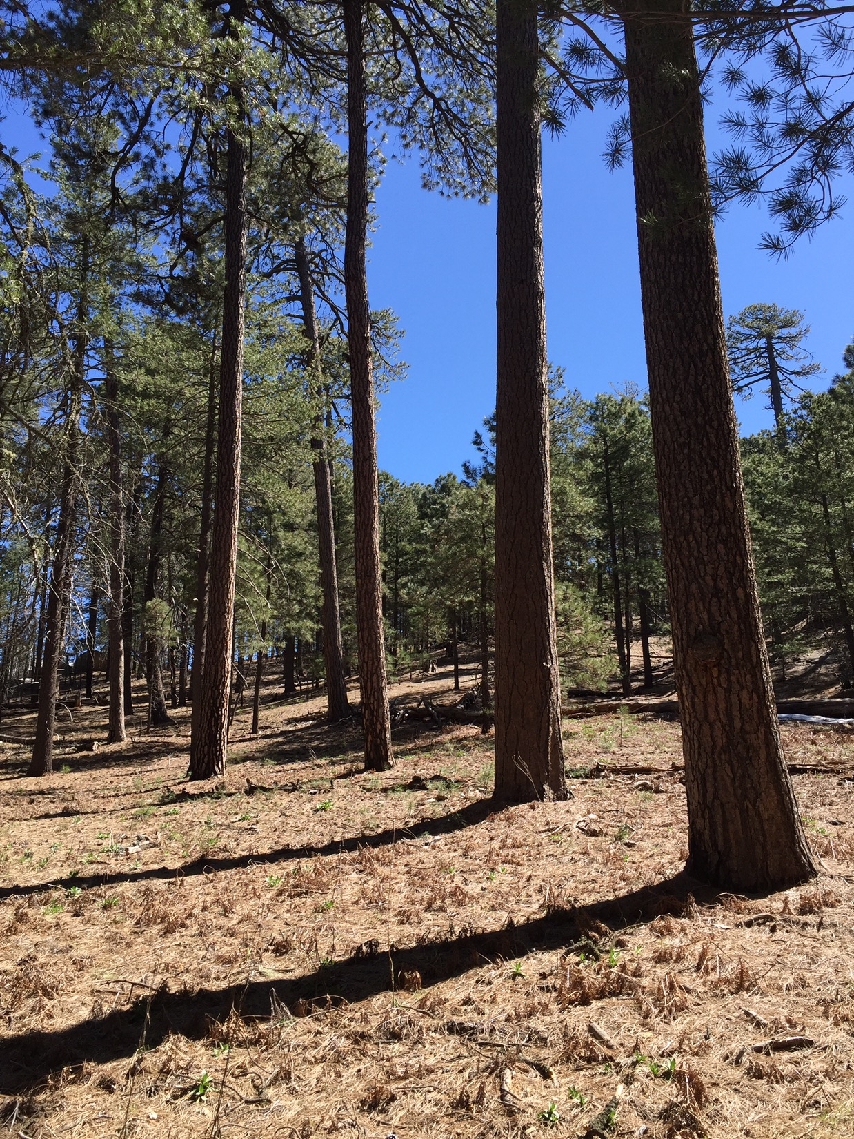
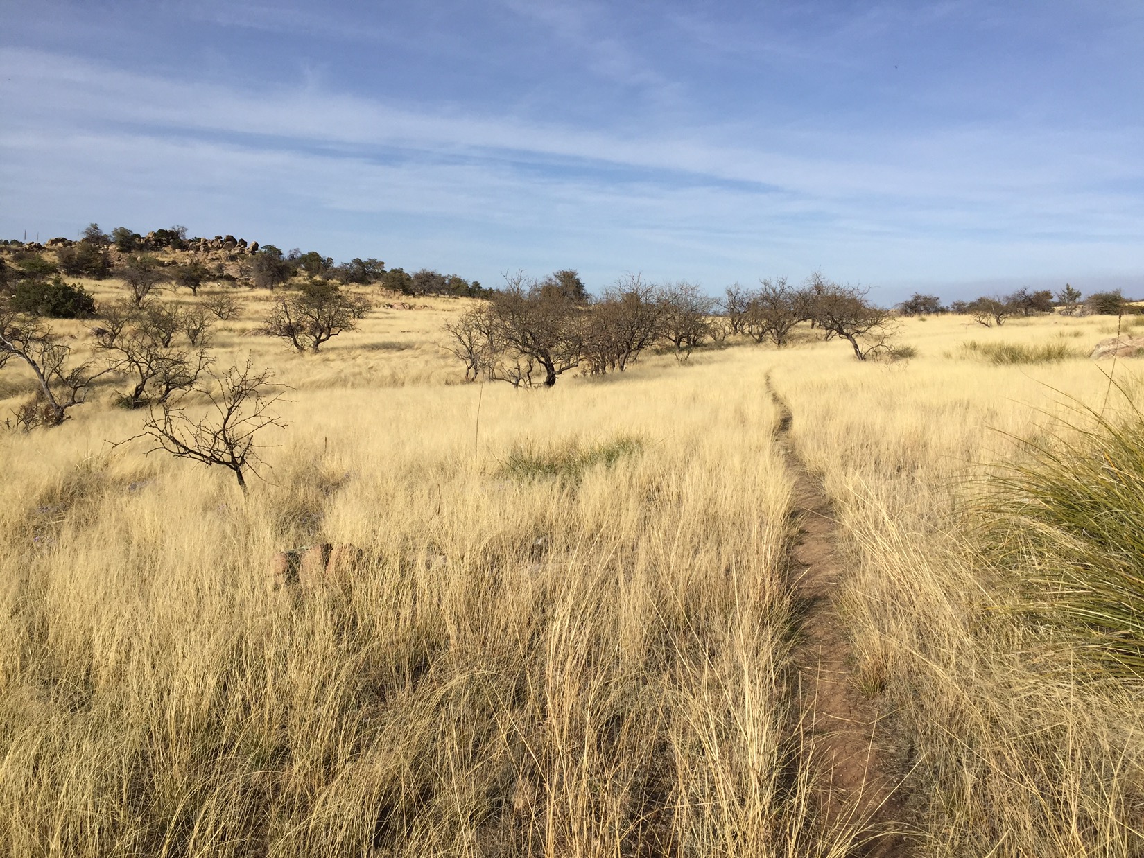
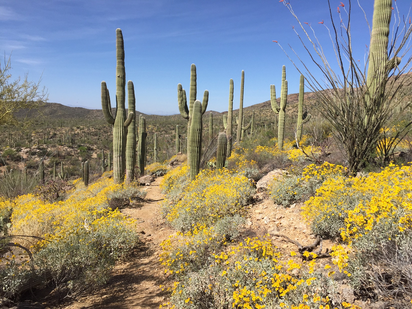
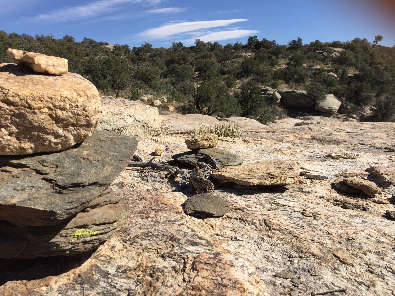
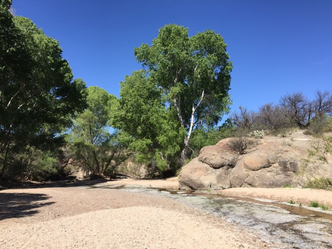
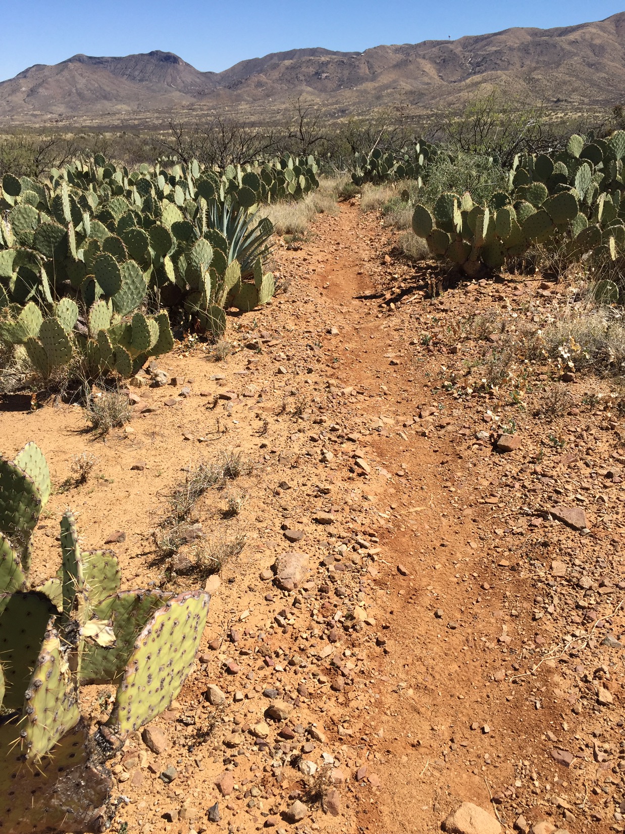
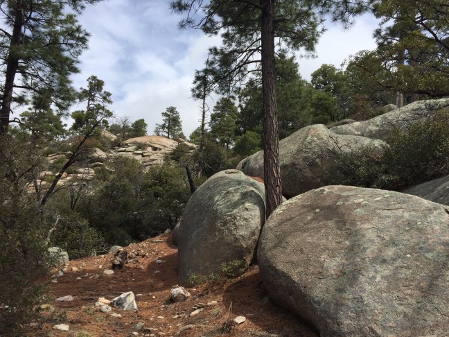
The morning of the second day started straight uphill. Soon I walked through one of my favorite trails in the world: the wilderness of rocks. The trail plateaus and climbs gradually for 5-6 miles before Summerhaven. Huge boulders each one like its own beach for sunbathing. The trail dives into pines with little creeks. But mostly it’s literally wilderness – trail ducks in and around boulders of every size and shape. Giant clouds boom and loom. Heaven.


Finally: steps from that beer (and camp)

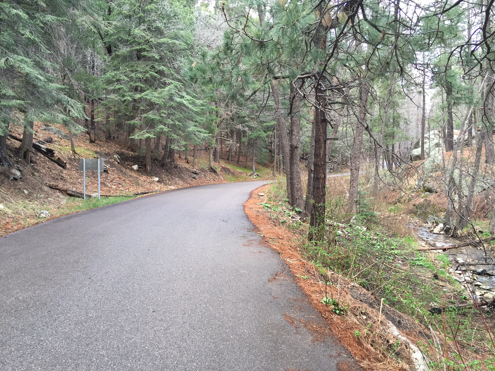
By 5 I get to Summerhaven road. I walk up the paved road surrounded by green, by water and tall pines. I stop at Sawmill Restaurant for that beer. A burger too. Charge my phone, fun texts with the family (Hanna Hard wins her age group in the Sabino Canyon Race!) refresh my water then head out before it gets dark. It seems crazy to leave a cozy place for the dark and rain but I’m I going to try a new way of tying my tarp.

March 15: Mica Mountain

Day 12: Up and Over

As a sophomore at Amphi High School I would spend breaks in the school library, reading Arizona Highways and planning backpacking trips I’d take someday. A bit dorky. Now as I pass the trees on the trails I always dreamed about, I want to know what I’m seeing. I find this site in a few seconds and start studying trees. Still a dork.

On the morning of the 15th I wake in my camp at about 6400 feet. I’m on a forested ledge in the Rincons with a view south over the Tucson Valley and (further) the Santa Ritas.


A large alligator juniper stands right by my campsite. My tent is surrounded by great clumps of manzanita, with twisted branches of red smooth bark and the small green leaves and the white flowers that hang in clumps like little sleigh bells. As I leave camp and hike north and up, I can hear the rush of Chiminea Creek deep in the canyon below me.

By midday I’ve hiked 2000 feet higher – enough to cross Chiminea Creek closer to its source. Now there is snow in the shady spots and the louder sound of water pooling under falls and rushing over boulders. I walk under tall ponderosa pine, and the trail grows faint and crosses a bare forest floor covered with dry needles and cones. The sound now is wind filtered by pine needles 50-60 feet overhead. Sounds like summers in Flagstaff. When I crest the mountain and start on the north slope I see aspen (not yet leafing) and thick, green fir trees.

In the afternoon, the decent is rapid down the north side. The view is to the northwest and west – a whole new world to a Tucsonan. Due north I see the fertile canyons of Aravaipa Creek and to the west I see into the Gila Wilderness and New Mexico. I descend through boulders thrown around like giants playthings. The manzanita re-appears all around me. They are beautiful in both life (green leaves and red bark) as well as death (dry, twisted, grey and ancient). Scrubby little pines that could be apache pine or pinyon, and soon desert olive trees.

At the base of the mountains I cross Tanque Verde Creek. It’s full of clear, sweet water and feels like the border. Everything north of here is Redington Pass and, beyond that, the Catalinas. I make camp on the night of the 15th somewhere in the pass, setting my tent somewhere around mile 151 amongst the tall grass and mesquite trees.


My final day of hiking is spent climbing out of Redington Pass, passing juniper, sycamore and the occasional Cottonwood whenever we cross a perennial creek. Cottonwoods with bright green leaves that stand out so clearly in the desert: their roots are the only source for Hopi kachinas carved the traditional away. I pass horny toads, cattle, horses and roadrunners. Fittingly, the last mile is the hardest. The trail gains 1000 feet in a mile and crests above Molino Basin Campground. Cresting not only gives me relief from climbing, it opens up the next chapter in the trek. On the other side of the hill I see the Catalina Highway, snaking 20 miles up from the valley floor in Tucson to the Mt. Lemmon at the top of the Catalinas. I descend into the campground where Chris picks me up for what’s turning out to be the celebratory dinner of the AZT: enchiladas and beer. 


March 14: The Rincons

Day 11: Rattlesnakes and Bumblebees

The rattlesnake didn’t like the fact I’d stepped on his rock.
It was late morning, and I’d already made it into Saguaro National Monument and the slopes of the Rincon Mountains. I had been keeping an eye out for snakes (they like the warmth of the rocks near the trail) yet was still surprised. I stepped onto the lower corner of a broad flat rock. About 6 feet away and level with my left shoulder, I heard a sudden, and very loud, rattle. I jumped and ran like Johnny Depp in Pirates of the Caribbean – my hands fluttering as I scuttled backwards. I looked like an idiot. I think I might have even apologized to the snake (“Sorry! Sorry!”) as I ran back. When I got safely back about fifteen feet I turned to see a 3 foot long rattlesnake, rattle still buzzing (but softer now), coiled and glaring at me. I slowly backed away, made a wide circle around him below the trail, and kept hiking.

My day had started earlier that morning at 3400 feet in elevation down on the desert floor. Off by 8am with the shadows still long and air cool. For the first 90 minutes I was surrounded by wildlife – rabbits breaking, quail flying – but by mid-morning the sun started to beat down and the animals went under cover. I passed by mesquite, ocotillo and rusted water tanks with windmills.


Then by late morning I was up around 4500 feet. The mountainside was covered with tall saguaros. The sage bushes, with pale gray leaves and bright yellow windflowers, crowded both sides of the trail. With the flowers came hundreds of bees, so walking was already a little unnerving. Then that snake.

My day ends today at about 6300 feet up on the south flank of Mica Mountain in the Rincons. Surrounded by scrubby oaks, pinyon and pine. The trail dives under the shade of the trees, then passes over broad rocks with only rock cairnes to mark the way.

March 13: Cienega Creek

Day 10: Spiritual Guides

I hope I don’t lose you with the spiritual stuff. Bear with me.

This morning Chris dropped me at mile 110 of the Arizona Trail: where it crosses Old Sonoita Highway. I’ve just taken two days off from hiking – to be with my family at the memorial service for my uncle Duane Miller.

Walking again is not hard. Yes there is a physical aspect to doing this that is brutal: hurt feet, tired legs, thirst, gotta hike 16 miles today, etc. But it’s not hard. I’m pulled forward most of the time. By thinking of the day ahead, of the next water stop, of the next adventure. I’m mostly pulled forward by people. Thinking of them: the lessons they have for me.

Sometimes the people play active parts in my day. They help me mark time. I spent 2 hours with my wife and kids this morning texting photos of where we were: Emma on a beach, Clay doing homework (with bad hair), Syd and Chinita at brunch in New York.

But mostly the people aren’t active in my day. They’re not talking to me. I’m solo. Spiritual. Thinking of them. What lesson do you have for me? What memory do I have of you? I spent 3 hours outside of Patagonia just thinking about my wife’s laugh. I spend hours thinking about Edward Abbey and his thoughts in Desert Solitaire (I’m re-reading it at camp at the end of each day). These people pull me forward.

Today it’s Ben Miller. My cousin. Youngest child and only son of Duane and Beverly Miller. He spoke at the service in Sedona. I can’t express better than Ben and his sisters did what Duane Miller was like. Google his name, Arizona and probably “cattlemen” and you’ll get a sense of the man. As Ben said, his passing (and that of his brother Cecil) marked the “end of an era”.

I can describe the impact Ben had on me yesterday. I’m so proud of him. He stood in front of 100 people and helped lead them thru their grief. He was so funny, so thoughtful, all while his own heart was breaking. His dad would have been proud of him.

Today I think of this as I hike thru the desert. I think of the family I saw in Sedona. My Uncle Henry made a point of telling me that he’s following my progress on InReach. I know he follows me because he cares, also a bit because his sister (my Mom) is so nervous about me, but I suspect it’s also because he would love to be out here. He’s got Arizona in his blood. My whole family out here does. The stories everyone told at the memorial service were about life, love and family, but each was set against a backdrop of Arizona places that most people never see: Camp Verde, Rogers Lake, Woody Mountain. There are spirits in those places.  
I walk through places like that today. I started at 9 and walked 5 miles through Sonoran desert to Cienega Creek. I’m resting and checking my water here. It’s beautiful and more striking because of the dryness of the desert that surrounds it. It should be in a Baumann print, or an oil by Ross Stefan. All I can do is take a photo and think. I have spent years in Arizona and never been here, but I’ll bet Uncle Henry has been here. I wonder when he was, what he would say about it.

After this I still have 10 miles of desert to hike this afternoon. It looks hot out there. The Rincons loom and I know I have to tackle them tomorrow.

My family pulls me forward.

March 10: Tucson Valley

Day 9: Last day before break

On March 10th I walked out of the Santa Rita foothills and crossed northeast over into the broad Tucson Valley. At the end of the day the plan was for Chris to pick me up by the side of the Old Sonoita Highway, and then for my whole family to take a three day break up in Sedona for the memorial service for my uncle Duane Miller.

 It was a great day for reflecting on the previous weeks walk from Mexico. I passed the 100 mile mark about midway thru the morning. I continued to drop in elevation. Grasslands yielded to prickly pear cactus, occotillos and creosote bushes (the bushes that give the desert that sweet tangy smell when the rains come and release the oil from their bark).


By late afternoon, I could see the Tucson Valley. Directly ahead of me were the Rincon Mountains, arrayed like the name implies, like giant corner bending to the north and east of Tucson. I would be hiking up and over those mountains in a few days when I returned from Sedona. To the northwest, north of Tucson and pretty much out of sight today, I could see parts of the Santa Catalina Mountains. I would be crossing those in April when I came back from New York.