
My 18th day on the trail
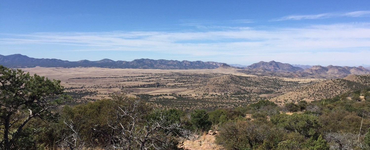
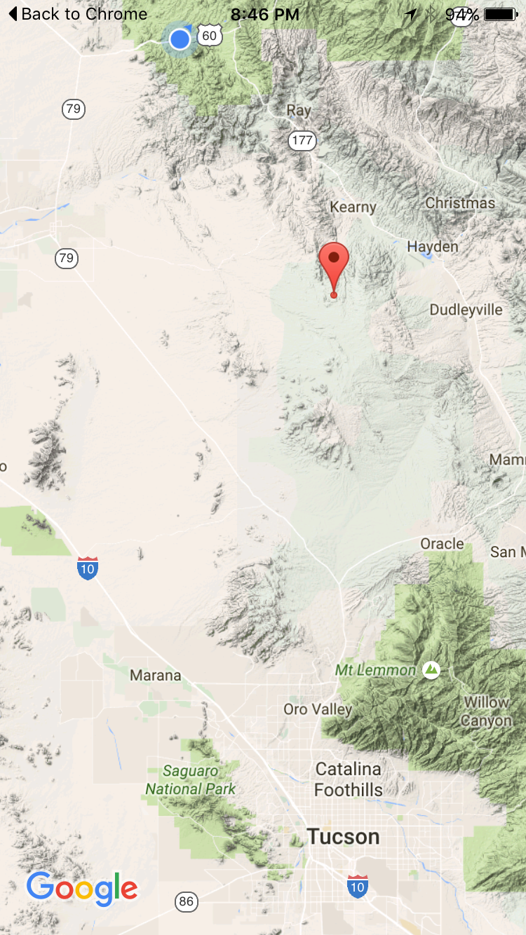
About 30 miles north of Tucson, on other side of Catalinas, the highway forks at the town of Oracle Junction. Route 79 heads NW up through the town of Florence and the Arizona state prison. Route 77 heads NE up through mining country and the towns of Winkelman, Hayden and Kearny. The two routes merge into other highways, bend back towards each other and meet again in the town of Superior. In the 2400 square miles of space between them, about 60 miles long and 40 miles wide, lie the Tortilla Mountains. No paved roads, no towns, no natural water sources. It took me about two days to pass thru that stretch.
The first day began with a bit of rain. The last traces of the storms that had passed up from Tucson over the last couple of days. As I passed thru a gate mid morning, I saw a women crouched down on the trail underneath a big umbrella. She was not happy about the rain; not happy about hiking solo. We hiked together for a few miles to keep each other motivated. She said she worked as a vet in Oro Valley and told me the coyotes I had heard a few yards on either side of me last night were probably yelping because they had found a kill. I found that a little unsettling.
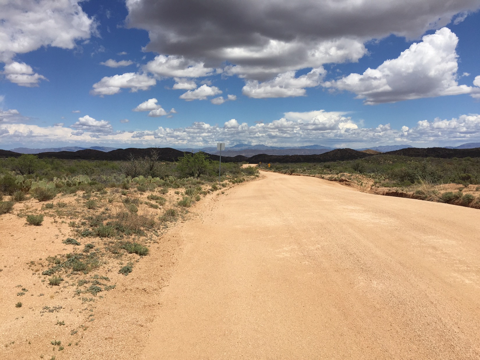
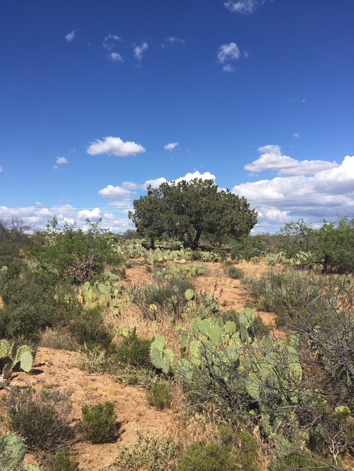
As the day wore on I let the other hiker get ahead of me. Her pace had picked up along with her spirits and she was too hard to keep up with. The Tortillas were mostly uneventful: flat, hot, dry. Towards the end of the day, however, as shadows lengthened, the desert floor turned to course sand, and the trail started to roll and twist like a lazy roller coaster. I love this type of desert: if something died and fell to the sand, it would be bleached bones in a day. Pure. The vastness is broken by full trees that stand alone every 300-400 yards providing great cool shade. Juniper? Pinyon?
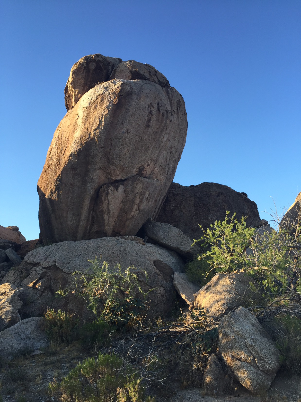
About 2 hours before sunset, as the shadows lengthened and I started to despair finding a camping spot with any type of cover, I saw a shape looming. I thought it was a ranch house with trees, but as I approached it became clear the next few miles was boulder country. Great huge mounds of boulders on either side of the trail of the type cowboys would make a last stand in. I set camp in the lee of the largest pile and slept without the tarp, looking out at another starry night.
The next day I walked 17 miles. As I keep going and build strength I’m starting to cover more distance. It was a long time between water sources. My final water before camping was drawn from a 300 gallon cattle tank. I ignored the bees as I filled my bags and I ignored the bee wings in the water when I drank. The final night I was again able to leave the tarp in the bag and sleep under the stars. Beautiful

Mike, your posts are Inspiring me every day. Be safe
LikeLike