Finally I’m within hiking distance of the Rim. Tomorrow will be my 33rd day of hiking, and my Uncle Henry has called to say that he’ll make the 90 minute drive from Sedona at the end of the day, pick me up at the ranger station, then drive me to Phoenix after I spend the night at my Aunt Beverly’s house. I need to cover 35 miles and climb the Rim to meet him by tomorrow afternoon. Cake.
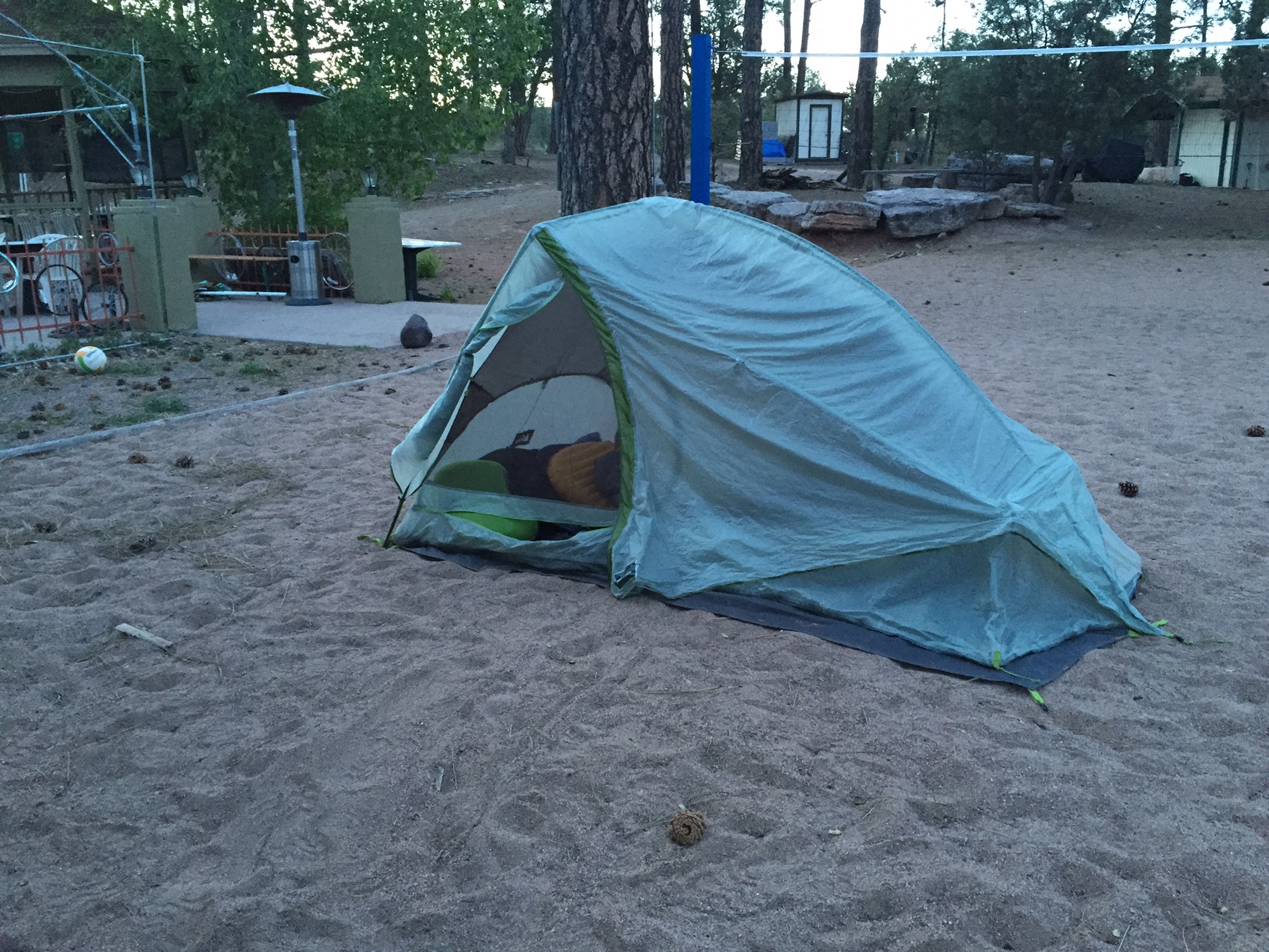
I start the day waking up on a volleyball court. The brewery/motel that had so graciously taken my email reservation (and credit card) a few days prior was deserted last night, so after a few calls I gave up and camped outside their beer patio. After waking, and pancakes at The Early Bird restaurant in Pine, I head off for the final push.
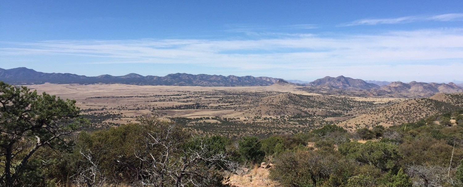
The Mogollon Rim itself is officially an escarpment (had to google that one) that runs 200 miles across the state of Arizona. It’s named after Don Juan Ignacio Flores Mogollón, the Governor of New Mexico from 1712 to 1715. Arizona was once part of the territory of New Mexico, so I guess that’s why a dude in Santa Fe got dibs on an Arizona landmark. Most people see it around Sedona, where erosion creates spectacular red rocks. East of Sedona it varies between cliffs and steep slopes until it peters out near the border with New Mexico.
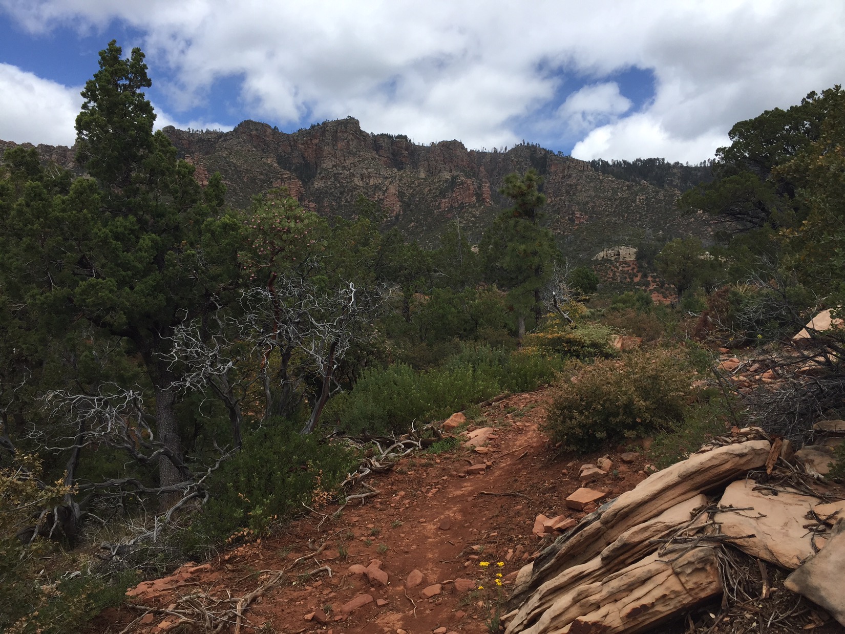
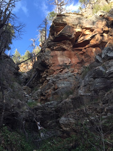
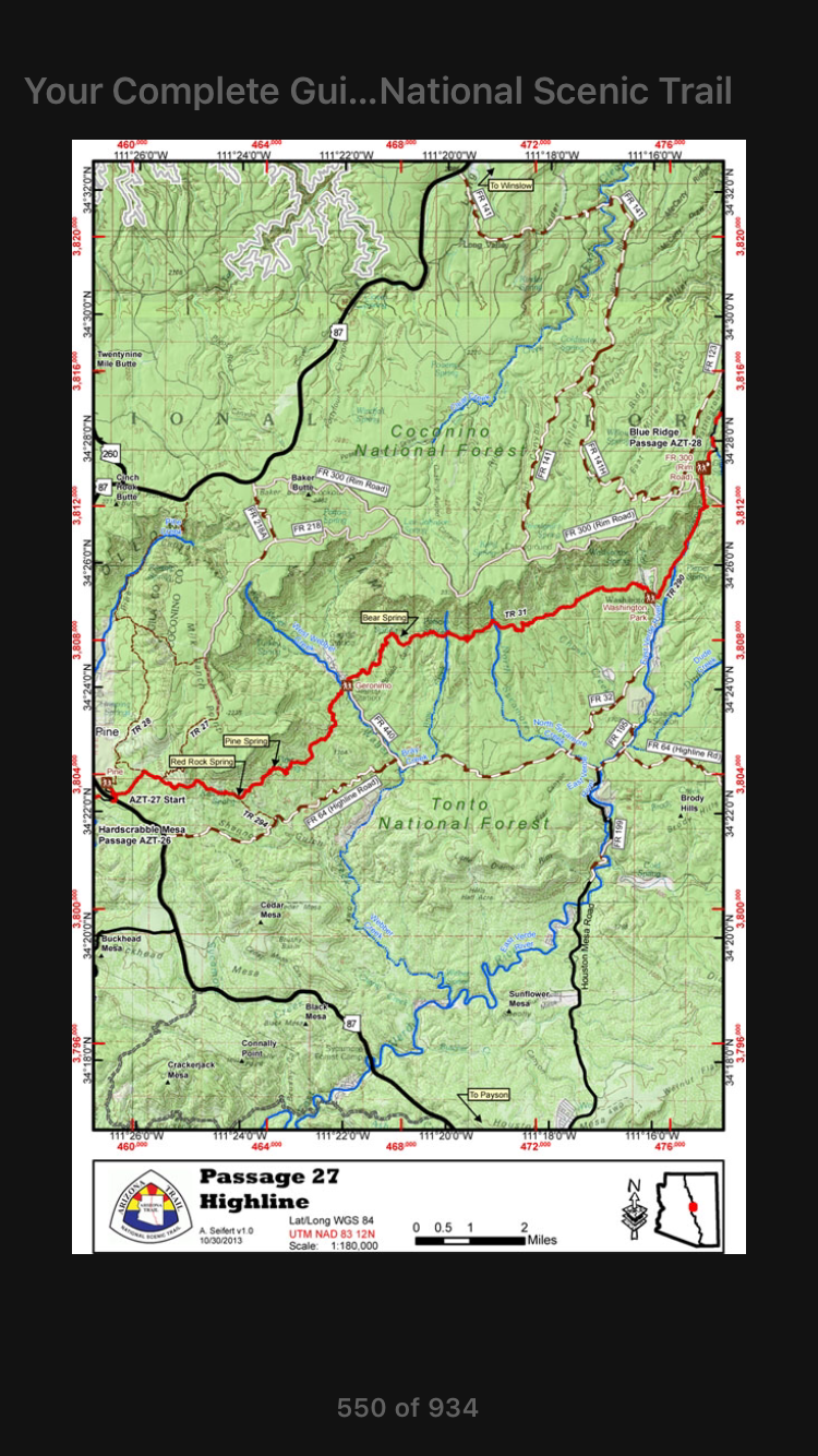
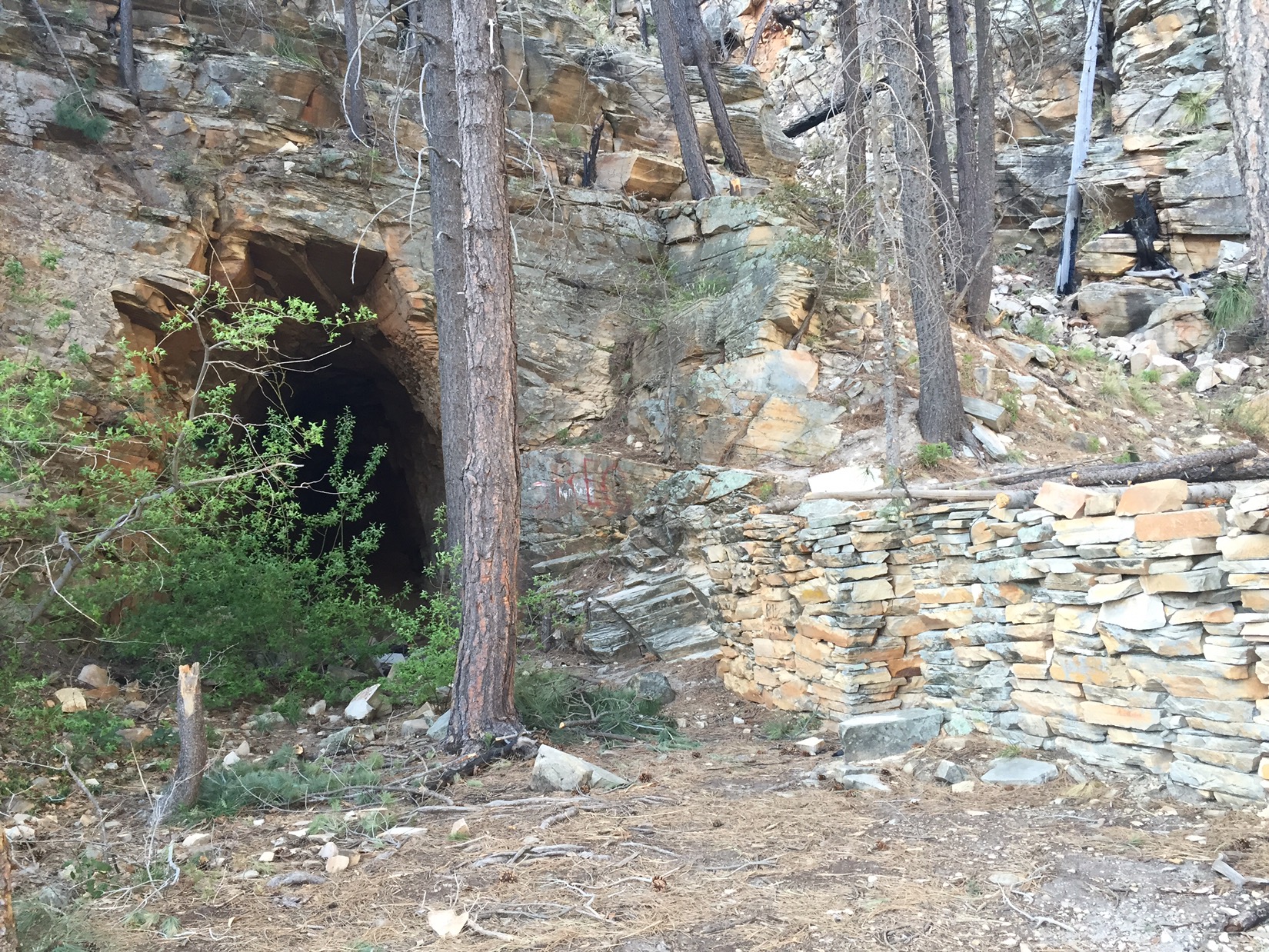
For about 10 miles, I hike along the historic High Line trail just below the Rim. I get glimpses of the occasional cliff through the trees and cross cold and clear streams. I run into various hikers, including Chow Mane, but I press ahead to get above the rim before it gets dark. Late in the afternoon I climb a steep trail next to a rushing stream that is a source for the East Verde River. At one point I follow the wrong rock cairnes and emerge on a rocky ledge beside an abandoned RR tunnel and cabin. It’s a bit scary because if you take the wrong trail, you can get in rough terrain very fast (as it gets dark).
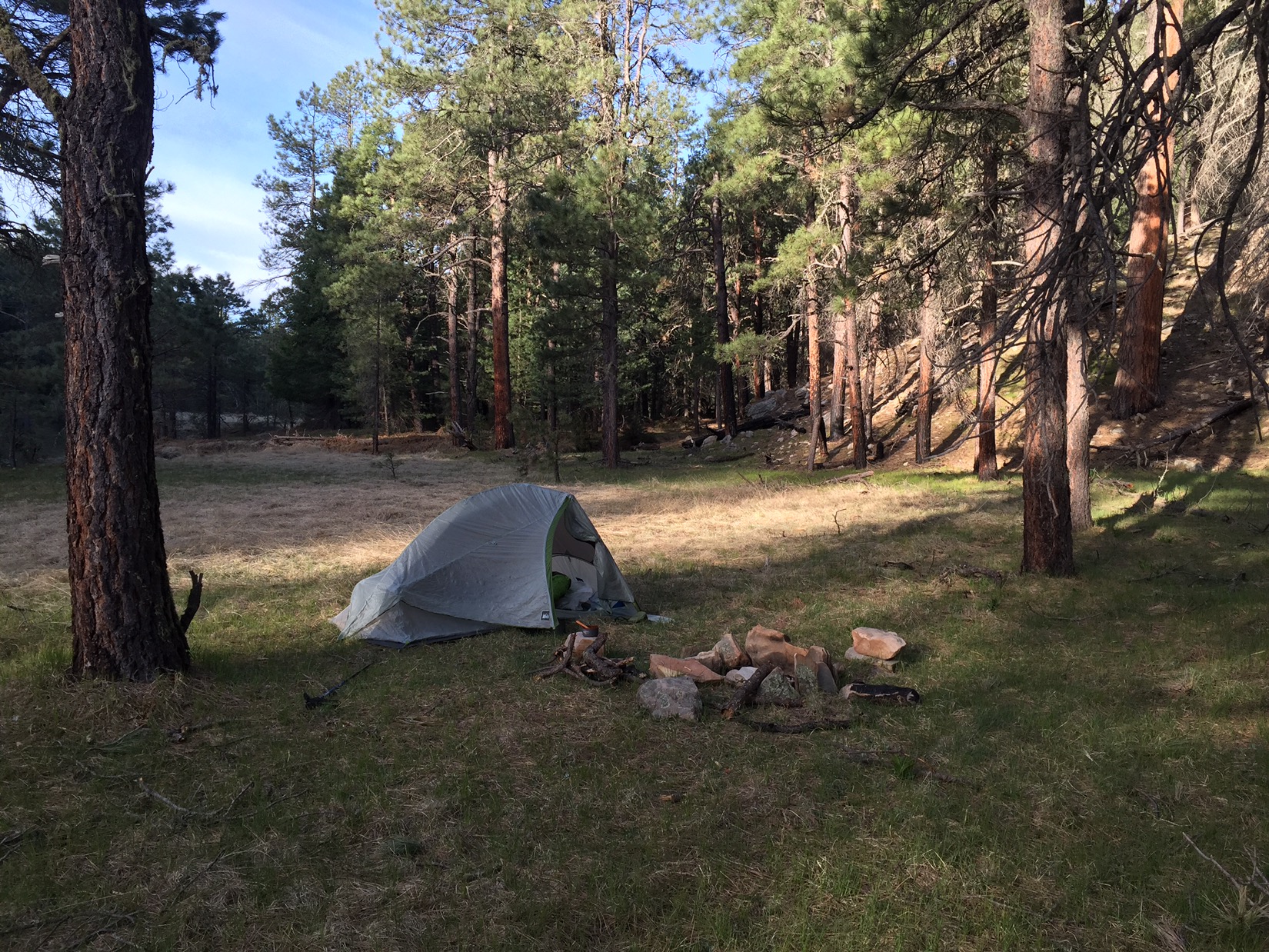
By 6 I’m above the rim and walking through General Springs Canyon, named after the general who fought and ultimately captured Geronimo . There is a monument to an Apache battle near the trail, but the forest is quiet and a beautiful place to camp. The next morning I rise early to make my appointment with my uncle. I’m caught mid-morning by one of the hikers I passed the day before. He says that he and Chow Mane got lost climbing the Rim as the sun set, and that Chow Mane turned around and went back to Pine.
I reach the Mogollon ranger station by mid afternoon. To pass the time I wander inside and ask the rangers if they know where Lockett Ranch is. We’re still searching maps when Mr. Henry Lockett himself arrives to pick me up. He points out the ranch on the map. It’s near Coulter Cabin, about two miles from where the trail will pass in a few days. As he drives me to Sedona, past Happy Jack, past Stoneman Lake and down I-17, we talk about his visits to the ranch when he was a kid, about Lockett history and about everything in between. I couldn’t be happier. I’m safe, I’m with family, and I see Chinita and Emma tomorrow.

Happy to see you continue safely in this epic journey
LikeLike